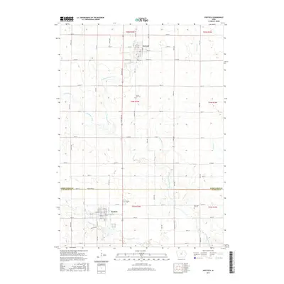
2015 Map of Sheffield
USGS Topo · Published 2015About this map
Sheffield and Rockwell anchor this north-central Iowa landscape, illustrating a classic Midwestern pattern of grid-based townships and agricultural settlement. The map documents the border between Cerro Gordo Co and Franklin Co, where the survey lines of t94n r20w and t93n r20w meet. Local genealogy is well-served by the presence of several community burial grounds, including Linn Grove Cem and Sacred Heart Cem near the northern edge, and Hillside Cem and Saint John Zion Cem further south.
Find a feature on this map
45 named features on this map. Tap any name to fly to it.
Don’t see what you’re looking for? This feature index may not catch every label — zoom into the map to look around manually.
Map Details
Editions of this 2015 Sheffield Map
This is the sole edition of this map. No revisions or reprints were ever made.
Other maps of this area

1954 · Mason City
USGS Topo · 1:250,000

1954 · Waterloo
USGS Topo · 1:250,000

1955 · Waterloo
USGS Topo · 1:250,000

1957 · Mason City
USGS Topo · 1:250,000

1958 · Mason City
USGS Topo · 1:250,000

1959 · Mason City
USGS Topo · 1:62,500

1959 · Mason City SE
USGS Topo · 1:24,000

1959 · Hanford
USGS Topo · 1:24,000

1972 · Hansell
USGS Topo · 1:24,000
1972 · Dougherty
USGS Topo · 1:24,000