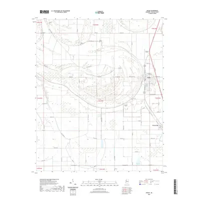
2020 Map of Shelby
USGS Topo · Published 2020About this map
Shelby and the nearby town of Winstonville anchor this portion of the Mississippi Delta, a landscape defined by the serpentine remnants of former river channels and expansive agricultural plots. The hydrology is dominated by the winding path of Turkey Pen Bayou, which snakes across the center of the sheet alongside Snake Creek and Bogue Phalia. These waterways create a complex drainage pattern typical of the alluvial plain, where modern roads like Kermit Stanton Rd and Ferretti Rd cut straight lines across the ancient, meandering bayous.
Find a feature on this map
83 named features on this map. Tap any name to fly to it.
Don’t see what you’re looking for? This feature index may not catch every label — zoom into the map to look around manually.
Map Details
Editions of this 2020 Shelby Map
This is the sole edition of this map. No revisions or reprints were ever made.
Other maps of this area

1930 · Mellwood
USGS Topo · 1:62,500

1931 · Drew
USGS Topo · 1:48,000

1935 · Clarksdale
USGS Topo · 1:62,500

1935 · Mound Bayou
USGS Topo · 1:62,500

1939 · Pace
USGS Topo · 1:62,500

1939 · Clarksdale
USGS Topo · 1:62,500

1939 · Mellwood
USGS Topo · 1:62,500

1948 · Helena
USGS Topo · 1:250,000

1950 · Helena
USGS Topo · 1:250,000

1953 · Greenwood
USGS Topo · 1:250,000