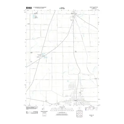
2010 Map of Shelby
USGS Topo · Published 2010About this map
Shelby serves as the primary urban center in this northern Ohio landscape, where the grid of the city meets the expansive agricultural reaches of Richland and Crawford counties. The geography is defined by its water systems, notably the Black Fork Mohican River and Marsh Run, which navigate a terrain marked by early infrastructure like the Celeryville Upground Reservoir Dam. In the northern portion of the map, the village of Plymouth sits at a crossroads, its civic life anchored by the Plymouth Post Office. The area is rich in sites for genealogical research, with several established burial grounds including Pioneer Rest Cemetery, Green Lawn Cemetery, and Myers Cemetery scattered across the township. Transport and leisure also shape the modern character of the region, from the Shelby Community Airport to the greens of the Woody Ridge Golf Course near Cooke Pond Number Two.
Find a feature on this map
61 named features on this map. Tap any name to fly to it.
Don’t see what you’re looking for? This feature index may not catch every label — zoom into the map to look around manually.
Map Details
Editions of this 2010 Shelby Map
This is the sole edition of this map. No revisions or reprints were ever made.
Other maps of this area

1915 · Norwalk
USGS Topo · 1:62,500

1915 · Siam
USGS Topo · 1:62,500

1915 · Bucyrus
USGS Topo · 1:62,500

1915 · Crestline
USGS Topo · 1:62,500

1943 · Bucyrus
USGS Topo · 1:62,500

1943 · Crestline
USGS Topo · 1:62,500

1944 · Norwalk
USGS Topo · 1:62,500

1950 · Marion
USGS Topo · 1:250,000

1956 · Toledo
USGS Topo · 1:250,000

1960 · North Robinson
USGS Topo · 1:24,000