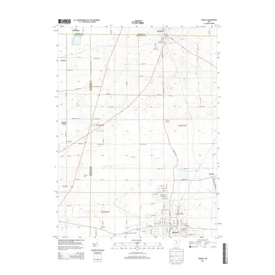
2013 Map of Shelby
USGS Topo · Published 2013About this map
Shelby sits at the intersection of Richland and Crawford counties, serving as a significant hub where the Black Fork Mohican River begins its course. This 2013 survey reveals a landscape defined by industrial legacy and agricultural transitions, with landmarks like Skiles Field and the Shelby Community Airport anchoring the southern city limits. To the north, the village of Plymouth straddles the line between Huron and Richland counties, surrounded by a high concentration of established burial grounds including Pioneer Rest Cem and Green Lawn Cem. The surrounding countryside is dotted with small settlements such as London, Auburn Center, and New Pittsburgh, connected by a grid of rural roads like Sawyer Rd and Hazelbrush Rd. Water features like Marsh Run and Cooke Pond Number 1 reflect the local drainage patterns essential to the area's farming history.
Find a feature on this map
67 named features on this map. Tap any name to fly to it.
Don’t see what you’re looking for? This feature index may not catch every label — zoom into the map to look around manually.
Map Details
Editions of this 2013 Shelby Map
This is the sole edition of this map. No revisions or reprints were ever made.
Other maps of this area

1915 · Norwalk
USGS Topo · 1:62,500

1915 · Siam
USGS Topo · 1:62,500

1915 · Bucyrus
USGS Topo · 1:62,500

1915 · Crestline
USGS Topo · 1:62,500

1943 · Bucyrus
USGS Topo · 1:62,500

1943 · Crestline
USGS Topo · 1:62,500

1944 · Norwalk
USGS Topo · 1:62,500

1950 · Marion
USGS Topo · 1:250,000

1956 · Toledo
USGS Topo · 1:250,000

1960 · North Robinson
USGS Topo · 1:24,000