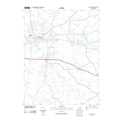
2022 Map of Shelbyville
USGS Topo · Published 2022About this map
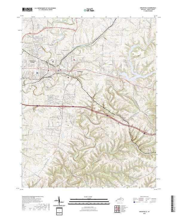
Shelbyville serves as the focal point of this Kentucky landscape, where the modern urban footprint of the county seat meets a complex network of waterways. The terrain is defined by the winding course of Guist Creek and its many tributaries, including Jeptha Cr and Britton Run. To the north, Lake Shelby and Harbisons Pond punctuate the drainage basins of Clear Creek and Mulberry Cr. This contemporary topographic study shows the expansion of residential areas like Middletown Heights and Snow Hill alongside established rural points such as Veachland and Hooper. For genealogists and local historians, the inclusion of Saffell Calvary Cem and Grove Hill Cem provides critical points for family research. The map also highlights the central civic importance of the Shelby County Judicial Center within the city's historic grid.
Find a feature on this map
138 named features on this map. Tap any name to fly to it.
Don’t see what you’re looking for? This feature index may not catch every label — zoom into the map to look around manually.
Map Details
Editions of this 2022 Shelbyville Map
This is the sole edition of this map. No revisions or reprints were ever made.
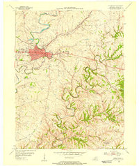
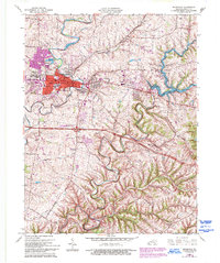
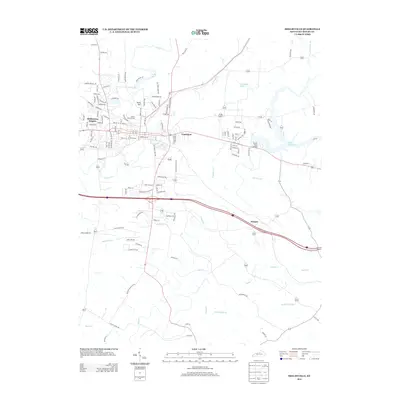
Historical Maps of Shelbyville Through Time
7 maps found