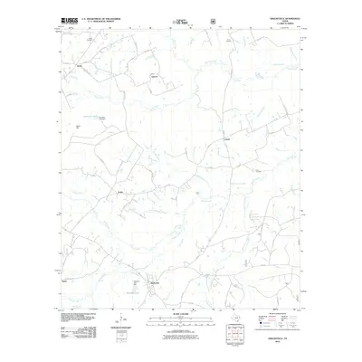
2010 Map of Shelbyville
USGS Topo · Published 2010About this map
Shelbyville serves as the central hub of this East Texas landscape, where the drainage networks of Tenaha Creek and Flat Fork Creek dictate the rural layout. The terrain is defined by a dense web of county roads connecting small settlements and family landmarks, such as Antioch, James, and Sardis. A legacy of local genealogy is preserved in sites like Smith Cemetery and Price Cemetery, while the presence of Bone Hill Lake Dam and Windham Lake Dam highlights modern water management across the creek-cut topography. The map illustrates a typical Piney Woods transition, where the forest gives way to the clearings of established communities like Webb and Campti. Researchers can trace the specific path of Town Creek as it winds through the heart of the namesake town, reflecting the historical importance of local water sources to settlement patterns in Shelby County.
Find a feature on this map
71 named features on this map. Tap any name to fly to it.
Don’t see what you’re looking for? This feature index may not catch every label — zoom into the map to look around manually.
Map Details
Editions of this 2010 Shelbyville Map
This is the sole edition of this map. No revisions or reprints were ever made.
Other maps of this area

1944 · Logansport
USGS Topo · 1:62,500

1944 · Patroon
USGS Topo · 1:62,500

1953 · Alexandria
USGS Topo · 1:250,000

1953 · Palestine
USGS Topo · 1:250,000

1955 · Alexandria
USGS Topo · 1:250,000

1956 · Logansport
USGS Topo · 1:62,500

1956 · Patroon
USGS Topo · 1:62,500

1957 · Palestine
USGS Topo · 1:250,000

1958 · Center
USGS Topo · 1:62,500

1958 · San Augustine
USGS Topo · 1:62,500