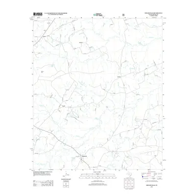
2013 Map of Shelbyville
USGS Topo · Published 2013About this map
Shelbyville and the surrounding rural communities of Sardis, Antioch, and Campti are the primary focus of this East Texas survey. The landscape is defined by an intricate network of waterways, notably the winding Tenaha Cr and Flat Fork Cr, which feed into numerous smaller branches like Beauchamp Cr and Caney Cr. The settlement pattern follows a dense grid of county roads that connect these small hamlets, reflecting a long-standing agricultural and timber-based economy. Local history is anchored by sites like Price Cem and Smith Cem, while the topography is punctuated by Bone Hill and water bodies such as Windham Lake and Bone Hill Lake. The presence of numerous named drainages like Seymour Watson Br and Carlyle Br suggests a terrain heavily influenced by its hydrography, providing a detailed look at the rural infrastructure of Shelby County in the early 21st century.
Find a feature on this map
86 named features on this map. Tap any name to fly to it.
Don’t see what you’re looking for? This feature index may not catch every label — zoom into the map to look around manually.
Map Details
Editions of this 2013 Shelbyville Map
This is the sole edition of this map. No revisions or reprints were ever made.
Other maps of this area

1944 · Logansport
USGS Topo · 1:62,500

1944 · Patroon
USGS Topo · 1:62,500

1953 · Alexandria
USGS Topo · 1:250,000

1953 · Palestine
USGS Topo · 1:250,000

1955 · Alexandria
USGS Topo · 1:250,000

1956 · Logansport
USGS Topo · 1:62,500

1956 · Patroon
USGS Topo · 1:62,500

1957 · Palestine
USGS Topo · 1:250,000

1958 · Center
USGS Topo · 1:62,500

1958 · San Augustine
USGS Topo · 1:62,500