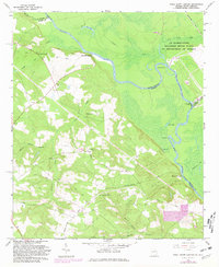
1965 Map of Shell Bluff Landing
USGS Topo · Published 1981About this map
The Savannah River forms the central spine of this landscape, marking the boundary between Georgia and South Carolina during the mid-1960s. Along its winding course, several riverfront points like Shell Bluff Landing and Hancock Landing reveal the traditional importance of the waterway for local transport and commerce. The interior terrain is defined by a dense network of tributaries including Newberry Creek and Boggy Gut, which flow through heavily wooded bottoms.
Find a feature on this map
38 named features on this map. Tap any name to fly to it.
Don’t see what you’re looking for? This feature index may not catch every label — zoom into the map to look around manually.
Map Details
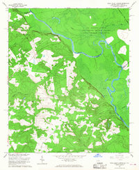
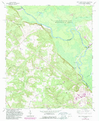
Editions of this 1965 Shell Bluff Landing Map
3 editions found
Other maps of this area

1920 · Ellenton
USGS Topo · 1:48,000

1920 · Greens Cut
USGS Topo · 1:62,500

1920 · Talatha
USGS Topo · 1:48,000

1921 · Augusta
USGS Topo · 1:62,500

1921 · Talatha
USGS Topo · 1:62,500

1921 · Ellenton
USGS Topo · 1:62,500

1943 · Greens Cut
USGS Topo · 1:62,500

1943 · Augusta East
USGS Topo · 1:125,000

1943 · Talatha
USGS Topo · 1:62,500

1943 · Augusta
USGS Topo · 1:62,500