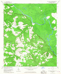
1965 Map of Shell Bluff Landing
USGS Topo · Published 1968About this map
Savannah River meanders define the border between Georgia and South Carolina in this mid-1960s study, which is notably bisected by the Savannah River Plant. This large federal installation dominates the northern and eastern portions of the map, marked by a restricted Reservation Boundary that separates the atomic energy site from the rural farmland of Burke County. On the Georgia side, a network of small country churches including Fairfield Ch, Gobbie Grove Ch, and Daniel Grove Ch with its associated cemetery provide important landmarks for local genealogy and family history.
Find a feature on this map
36 named features on this map. Tap any name to fly to it.
Don’t see what you’re looking for? This feature index may not catch every label — zoom into the map to look around manually.
Map Details
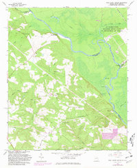
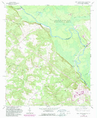
Editions of this 1965 Shell Bluff Landing Map
3 editions found
Other maps of this area

1920 · Ellenton
USGS Topo · 1:48,000

1920 · Greens Cut
USGS Topo · 1:62,500

1920 · Talatha
USGS Topo · 1:48,000

1921 · Augusta
USGS Topo · 1:62,500

1921 · Talatha
USGS Topo · 1:62,500

1921 · Ellenton
USGS Topo · 1:62,500

1943 · Greens Cut
USGS Topo · 1:62,500

1943 · Augusta East
USGS Topo · 1:125,000

1943 · Talatha
USGS Topo · 1:62,500

1943 · Augusta
USGS Topo · 1:62,500