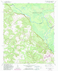
1965 Map of Shell Bluff Landing
USGS Topo · Published 1989About this map
The Savannah River defines the border between Georgia and South Carolina, serving as the central artery for this 1960s landscape. This survey documents a fascinating intersection of rural Southern life and large-scale federal infrastructure. To the west, the Georgia side is dotted with numerous small country churches that served the Burke County community, including McKinney Branch Ch, Allens Chapel, Gobbie Grove Ch, and Fairfield Ch. These spiritual centers are connected by networks of roads like Hancock Landing Road leading to river access points such as Shell Bluff Landing and Hancock Landing.
Find a feature on this map
39 named features on this map. Tap any name to fly to it.
Don’t see what you’re looking for? This feature index may not catch every label — zoom into the map to look around manually.
Map Details
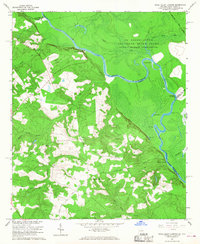
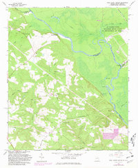
Editions of this 1965 Shell Bluff Landing Map
3 editions found
Other maps of this area

1920 · Ellenton
USGS Topo · 1:48,000

1920 · Greens Cut
USGS Topo · 1:62,500

1920 · Talatha
USGS Topo · 1:48,000

1921 · Augusta
USGS Topo · 1:62,500

1921 · Talatha
USGS Topo · 1:62,500

1921 · Ellenton
USGS Topo · 1:62,500

1943 · Greens Cut
USGS Topo · 1:62,500

1943 · Augusta East
USGS Topo · 1:125,000

1943 · Talatha
USGS Topo · 1:62,500

1943 · Augusta
USGS Topo · 1:62,500