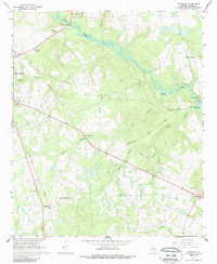
1964 Map of Idlewood
USGS Topo · Published 1987About this map
Waynesboro serves as a primary hub in this Georgia landscape, situated where the Central of Georgia Railroad cuts through the western terrain near a local Lookout Tower and Ranger Headquarters. The geography is defined by the winding course of Brier Creek, which is fed by numerous tributaries including Strawberry Br and Fitz Branch. This 1960s survey illustrates a rural society deeply connected by faith and family, evidenced by the density of small congregations and burial grounds like Watkinville Ch, Old Church, and the Asbury Ch Cem.
Find a feature on this map
35 named features on this map. Tap any name to fly to it.
Don’t see what you’re looking for? This feature index may not catch every label — zoom into the map to look around manually.
Map Details
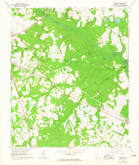
Editions of this 1964 Idlewood Map
2 editions found
Other maps of this area

1919 · Gough
USGS Topo · 1:62,500

1920 · Millen
USGS Topo · 1:62,500

1920 · Greens Cut
USGS Topo · 1:62,500

1943 · Greens Cut
USGS Topo · 1:62,500

1943 · Millen
USGS Topo · 1:62,500

1943 · Augusta East
USGS Topo · 1:125,000

1943 · Millen
USGS Topo · 1:125,000

1947 · Savannah
USGS Topo · 1:250,000

1948 · Savannah
USGS Topo · 1:250,000

1948 · Gough
USGS Topo · 1:62,500