
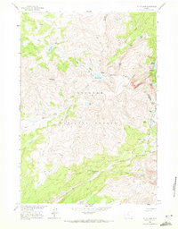
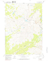
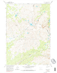
1960 Map of Shell Lake
USGS Topo · Published 1962About this map
Bighorn National Forest contains a vast high-elevation wilderness defined by steep drainage basins and glacial lakes along the border of Big Horn and Johnson counties. The landscape is interconnected by a historic network of pack trails, including the Edelman Trail and Solitude Trail, which negotiate significant mountain crossings such as Dutch Oven Pass and Edelman Pass. This 1960 field survey captures a primitive backcountry era before modern road access reached these interior basins, showing the remote character of sites like Teepee Pole Flats and the Lake Geneva Campground. The hydrologic complexity of the region is evident in the clusters of alpine water bodies, most notably the Lakes of the Rough and Emerald Lake, which feed the headwaters of Shell Creek and Medicine Lodge Creek.
Find a feature on this map
32 named features on this map. Tap any name to fly to it.
Don’t see what you’re looking for? This feature index may not catch every label — zoom into the map to look around manually.
Map Details
Editions of this 1960 Shell Lake Map
4 editions found
Other maps of this area

1895 · Dayton
USGS Topo · 1:125,000

1899 · Cloud peak
USGS Topo · 1:125,000

1901 · Cloud Peak
USGS Topo · 1:125,000

1901 · Dayton
USGS Topo · 1:125,000

1955 · Sheridan
USGS Topo · 1:250,000

1958 · Sheridan
USGS Topo · 1:250,000

1960 · Lake Solitude
USGS Topo · 1:24,000

1960 · Spanish Point
USGS Topo · 1:24,000

1962 · Sheridan
USGS Topo · 1:250,000
1964 · Dome Lake
USGS Topo · 1:24,000