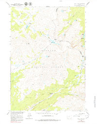
1960 Map of Shell Lake
USGS Topo · Published 1979About this map
Big Horn National Forest land defines this high-elevation landscape, where the Big Horn and Johnson County boundary cuts through a series of dramatic peaks and alpine basins. The area serves as a significant drainage hub for the Bighorn Mountains, with Shell Creek flowing through the north and Medicine Lodge Creek winding through the central portion of the quadrangle. Several high passes, including Dutch Oven Pass and Geneva Pass, facilitate travel between these deep-cut canyons and glacial basins.
Find a feature on this map
36 named features on this map. Tap any name to fly to it.
Don’t see what you’re looking for? This feature index may not catch every label — zoom into the map to look around manually.
Map Details
Editions of this 1960 Shell Lake Map
4 editions found
Other maps of this area

1895 · Dayton
USGS Topo · 1:125,000

1899 · Cloud peak
USGS Topo · 1:125,000

1901 · Cloud Peak
USGS Topo · 1:125,000

1901 · Dayton
USGS Topo · 1:125,000

1955 · Sheridan
USGS Topo · 1:250,000

1958 · Sheridan
USGS Topo · 1:250,000

1960 · Shell Lake
USGS Topo · 1:24,000

1960 · Lake Solitude
USGS Topo · 1:24,000

1960 · Spanish Point
USGS Topo · 1:24,000

1962 · Sheridan
USGS Topo · 1:250,000