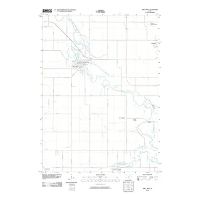
2010 Map of Shell Rock
USGS Topo · Published 2010About this map
Shell Rock and the western edge of Waverly anchor this study of the Butler and Bremer County border, where the meandering Shell Rock River defines the local geography. The river’s path is traced through several crossings, including the Shell Rock Bridge, the Cherry Street Bridge, and the Waverly Junction Bridge to the southeast. These crossings were historically vital to the rural road network, connecting the agricultural hinterland to the Shell Rock Post Office and local commerce.
Find a feature on this map
58 named features on this map. Tap any name to fly to it.
Don’t see what you’re looking for? This feature index may not catch every label — zoom into the map to look around manually.
Map Details
Editions of this 2010 Shell Rock Map
This is the sole edition of this map. No revisions or reprints were ever made.
Other maps of this area

1954 · Waterloo
USGS Topo · 1:250,000

1955 · Waterloo
USGS Topo · 1:250,000

1963 · Waverly
USGS Topo · 1:24,000

1963 · Cedar Falls
USGS Topo · 1:24,000

1971 · Shell Rock
USGS Topo · 1:24,000

1971 · Bremer
USGS Topo · 1:24,000

1971 · Coster
USGS Topo · 1:24,000

1971 · Plainfield
USGS Topo · 1:24,000

1971 · Clarksville
USGS Topo · 1:24,000

1971 · Stout
USGS Topo · 1:24,000