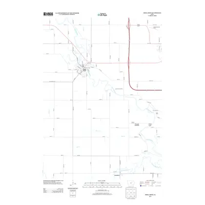
2013 Map of Shell Rock
USGS Topo · Published 2013About this map
Shell Rock serves as the primary hub of activity in this northern Iowa landscape, where the Shell Rock River winds through the terrain toward its confluence with the W Fork Cedar River at Finchford. The map reveals a structured river-based economy and transportation network, evidenced by landmarks like the Cherry Street Bridge and the Shell Rock Bridge. Further downstream, the community of Waverly Junction and its corresponding Waverly Junction Bridge highlight the historical importance of these river crossings for regional connectivity.
Find a feature on this map
81 named features on this map. Tap any name to fly to it.
Don’t see what you’re looking for? This feature index may not catch every label — zoom into the map to look around manually.
Map Details
Editions of this 2013 Shell Rock Map
This is the sole edition of this map. No revisions or reprints were ever made.
Other maps of this area

1954 · Waterloo
USGS Topo · 1:250,000

1955 · Waterloo
USGS Topo · 1:250,000

1963 · Waverly
USGS Topo · 1:24,000

1963 · Cedar Falls
USGS Topo · 1:24,000

1971 · Shell Rock
USGS Topo · 1:24,000

1971 · Bremer
USGS Topo · 1:24,000

1971 · Coster
USGS Topo · 1:24,000

1971 · Plainfield
USGS Topo · 1:24,000

1971 · Clarksville
USGS Topo · 1:24,000

1971 · Stout
USGS Topo · 1:24,000