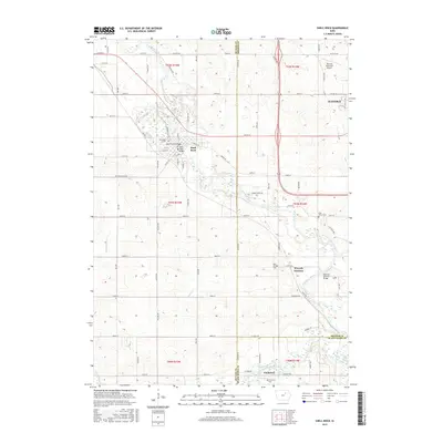
2015 Map of Shell Rock
USGS Topo · Published 2015About this map
Shell Rock and the surrounding river valley define this landscape at the intersection of Butler, Bremer, and Black Hawk counties. The Shell Rock River winds southeasterly toward its confluence with the West Fork Cedar River near the small community of Finchford. This area demonstrates a classic Iowa river-town pattern, where settlement centers on water-crossing points like the Cherry Street Bridge and the Shell Rock Bridge.
Find a feature on this map
85 named features on this map. Tap any name to fly to it.
Don’t see what you’re looking for? This feature index may not catch every label — zoom into the map to look around manually.
Map Details
Editions of this 2015 Shell Rock Map
This is the sole edition of this map. No revisions or reprints were ever made.
Other maps of this area

1954 · Waterloo
USGS Topo · 1:250,000

1955 · Waterloo
USGS Topo · 1:250,000

1963 · Waverly
USGS Topo · 1:24,000

1963 · Cedar Falls
USGS Topo · 1:24,000

1971 · Shell Rock
USGS Topo · 1:24,000

1971 · Bremer
USGS Topo · 1:24,000

1971 · Coster
USGS Topo · 1:24,000

1971 · Plainfield
USGS Topo · 1:24,000

1971 · Clarksville
USGS Topo · 1:24,000

1971 · Stout
USGS Topo · 1:24,000