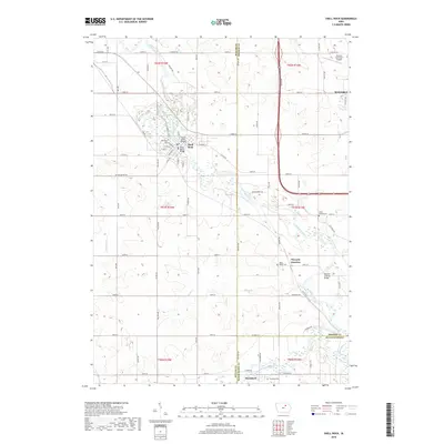
2018 Map of Shell Rock
USGS Topo · Published 2018About this map
The Shell Rock River winds through this section of the Iowa heartland, defining the settlement patterns of Shell Rock and Waverly Junction. In Shell Rock, the street grid is oriented around the river crossing, with the Cherry Street Bridge and Shell Rock Bridge providing essential connectivity. The landscape is a mix of agricultural fields and riparian corridors, where smaller tributaries like Curry Cr and Klock Cr feed into the primary waterway. Local history is anchored by several burial grounds, including Riverside Cem near the town center and the more isolated Pilot Mound Cem and West Point Cem. The presence of the Waverly Municipal Airport in the northeast corner and the intersection of county roads such as Butler Ave reflect the region's continued role as a transportation and utility hub in Butler and Bremer Counties.
Find a feature on this map
80 named features on this map. Tap any name to fly to it.
Don’t see what you’re looking for? This feature index may not catch every label — zoom into the map to look around manually.
Map Details
Editions of this 2018 Shell Rock Map
This is the sole edition of this map. No revisions or reprints were ever made.
Other maps of this area

1954 · Waterloo
USGS Topo · 1:250,000

1955 · Waterloo
USGS Topo · 1:250,000

1963 · Waverly
USGS Topo · 1:24,000

1963 · Cedar Falls
USGS Topo · 1:24,000

1971 · Shell Rock
USGS Topo · 1:24,000

1971 · Bremer
USGS Topo · 1:24,000

1971 · Coster
USGS Topo · 1:24,000

1971 · Plainfield
USGS Topo · 1:24,000

1971 · Clarksville
USGS Topo · 1:24,000

1971 · Stout
USGS Topo · 1:24,000