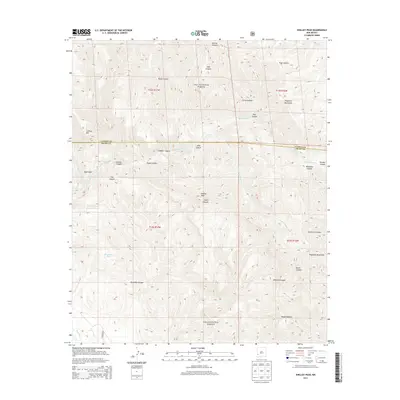
2013 Map of Shelley Peak
USGS Topo · Published 2013About this map
Shelley Peak stands as the central high point of this high-altitude landscape within the Gila National Forest. This 2013 survey details a transition between Catron and Grant Counties across the rugged Mogollon Mountains. The drainage network is complex, defined by the Mogollon Cr and its various branches, including the West Fork Mogollon Cr and South Fork Mogollon Cr, which have carved deep features like Skeleton Canyon and Woodrow Canyon.
Find a feature on this map
31 named features on this map. Tap any name to fly to it.
Don’t see what you’re looking for? This feature index may not catch every label — zoom into the map to look around manually.
Map Details
Editions of this 2013 Shelley Peak Map
This is the sole edition of this map. No revisions or reprints were ever made.
Other maps of this area

1910 · Mogollon
USGS Topo · 1:125,000

1911 · Alum Mountain
USGS Topo · 1:125,000

1912 · Mogollon
USGS Topo · 1:125,000

1913 · Alum Mountain
USGS Topo · 1:125,000

1954 · Clifton
USGS Topo · 1:250,000

1957 · Clifton
USGS Topo · 1:250,000

1958 · Clifton
USGS Topo · 1:250,000

1962 · Clifton
USGS Topo · 1:250,000
1965 · Canteen Canyon
USGS Topo · 1:24,000
1965 · Diablo Range
USGS Topo · 1:24,000