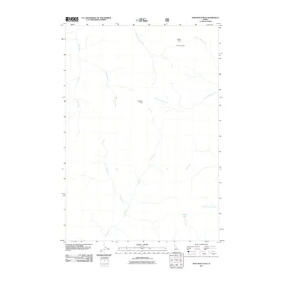
2011 Map of Shellrock Peak
USGS Topo · Published 2011About this map
Shellrock Peak dominates this high-altitude landscape in the Idaho backcountry, serving as the central point for a complex network of drainages. The map reveals the intricate headwaters of several major stream systems, including Rush Creek to the west and the various branches of Brush Creek to the northeast. The presence of Norton Lake tucked into the southeast corner highlights the glacial origins of the local topography, with Norton Creek draining the basin below Two Point Peak. This 2011 survey focuses on a roadless wilderness area, where the primary landmarks are natural summits and the winding paths of Trail Creek and Poee Creek. The lack of human infrastructure emphasizes the primitive character of the terrain during this era, making it an essential reference for understanding the unmodified state of this portion of Valley County.
Find a feature on this map
14 named features on this map. Tap any name to fly to it.
Don’t see what you’re looking for? This feature index may not catch every label — zoom into the map to look around manually.
Map Details
Editions of this 2011 Shellrock Peak Map
This is the sole edition of this map. No revisions or reprints were ever made.
Other maps of this area

1930 · Casto
USGS Topo · 1:125,000

1956 · Elk City
USGS Topo · 1:250,000

1957 · Challis
USGS Topo · 1:250,000

1960 · Elk City
USGS Topo · 1:250,000

1960 · Challis
USGS Topo · 1:250,000

1962 · Mormon Mtn
USGS Topo · 1:24,000

1962 · Bear Creek Point
USGS Topo · 1:24,000

1962 · Norton Ridge
USGS Topo · 1:24,000

1962 · Shellrock Peak
USGS Topo · 1:24,000

1962 · Dave Lewis Peak
USGS Topo · 1:24,000