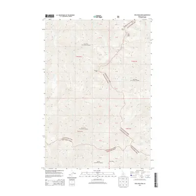
2013 Map of Shellrock Peak
USGS Topo · Published 2013About this map
Shellrock Peak and Two Point Peak dominate this high-elevation wilderness where the boundaries of three major federal land reserves meet. This 2013 survey details a complex hydrological divide, with headwaters feeding numerous drainages including Rush Cr, Shellrock Cr, and Sheep Cr. The map reveals the precise intersection of the Payette National Forest, Salmon National Forest, and Boise National Forest, reflecting the administrative complexity of managing these massive contiguous backcountry areas. The terrain is defined by dramatic ridgelines like Norton Ridge and high-mountain water bodies such as Norton Lake. The lack of named roads or settlements underscores the primitive nature of this landscape, where travel is dictated by drainage paths such as Trail Cr and Pinto Cr, making it a critical record for understanding the preserved state of the Idaho wilderness in the early 21st century.
Find a feature on this map
22 named features on this map. Tap any name to fly to it.
Don’t see what you’re looking for? This feature index may not catch every label — zoom into the map to look around manually.
Map Details
Editions of this 2013 Shellrock Peak Map
This is the sole edition of this map. No revisions or reprints were ever made.
Other maps of this area

1930 · Casto
USGS Topo · 1:125,000

1956 · Elk City
USGS Topo · 1:250,000

1957 · Challis
USGS Topo · 1:250,000

1960 · Elk City
USGS Topo · 1:250,000

1960 · Challis
USGS Topo · 1:250,000

1962 · Mormon Mtn
USGS Topo · 1:24,000

1962 · Bear Creek Point
USGS Topo · 1:24,000

1962 · Norton Ridge
USGS Topo · 1:24,000

1962 · Shellrock Peak
USGS Topo · 1:24,000

1962 · Dave Lewis Peak
USGS Topo · 1:24,000