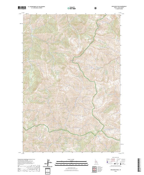
2024 Map of Shellrock Peak
USGS Topo · Published 2024About this map
Shellrock Peak stands as the central landmark in this high-elevation Idaho landscape where three major national forests converge. The map documents the complex boundary intersections of the Payette National Forest, Salmon National Forest, and Boise National Forest. A significant portion of the terrain is dedicated to the Frank Church-River of No Return Wilderness, reflecting a region preserved for its primitive character. Drainage systems like Rush Creek and Trail Creek carve through the steep topography, while high-country destinations such as Norton Lake are accessible via the Norton Lake Trl. The lack of developed roads and the reliance on named paths like the South Fork Rush Creek Trl indicate a remote backcountry environment centered on the Norton Ridge and Brush Creek Summit divides.
Find a feature on this map
35 named features on this map. Tap any name to fly to it.
Don’t see what you’re looking for? This feature index may not catch every label — zoom into the map to look around manually.
Map Details
Editions of this 2024 Shellrock Peak Map
This is the sole edition of this map. No revisions or reprints were ever made.
Other maps of this area

1930 · Casto
USGS Topo · 1:125,000

1956 · Elk City
USGS Topo · 1:250,000

1957 · Challis
USGS Topo · 1:250,000

1960 · Elk City
USGS Topo · 1:250,000

1960 · Challis
USGS Topo · 1:250,000

1962 · Mormon Mtn
USGS Topo · 1:24,000

1962 · Bear Creek Point
USGS Topo · 1:24,000

1962 · Norton Ridge
USGS Topo · 1:24,000

1962 · Shellrock Peak
USGS Topo · 1:24,000

1962 · Dave Lewis Peak
USGS Topo · 1:24,000