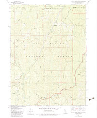
1982 Map of Shelly Creek Ridge
USGS Topo · Published 1983About this map
Siskiyou National Forest and Six Rivers National Forest converge at the Oregon-California state line, defining a landscape of deep canyons and high ridges. The rugged topography is etched by the Middle Fork Smith River and its numerous tributaries, including Shelly Creek and Monkey Creek. Resource extraction and mountain transit are evident through the presence of the Holiday Mine and the historic Wimer Road, which snakes across the northern terrain.
Find a feature on this map
43 named features on this map. Tap any name to fly to it.
Don’t see what you’re looking for? This feature index may not catch every label — zoom into the map to look around manually.
Map Details
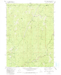
Editions of this 1982 Shelly Creek Ridge Map
2 editions found
Other maps of this area

1917 · Kerby
USGS Topo · 1:125,000

1918 · Kerby
USGS Topo · 1:125,000

1922 · Preston Peak
USGS Topo · 1:125,000

1945 · Kerby
USGS Topo · 1:125,000

1945 · Gasquet
USGS Topo · 1:62,500

1948 · Weed
USGS Topo · 1:250,000

1950 · Weed
USGS Topo · 1:250,000

1951 · Gasquet
USGS Topo · 1:62,500

1954 · Cave Junction
USGS Topo · 1:62,500

1954 · Chetco Peak
USGS Topo · 1:62,500