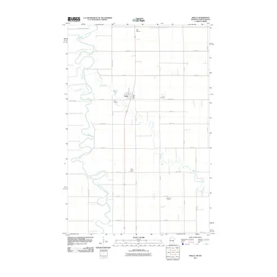
2011 Map of Shelly
USGS Topo · Published 2011About this map
Shelly sits at a critical junction of prairie hydrology and early transport along the Minnesota-North Dakota border. The landscape is defined by the winding course of the Red River of the North, which serves as the western boundary, and the serpentine paths of the Marsh River and Goose River as they move across the fertile Red River Valley. The area's deep-rooted Lutheran and Scandinavian heritage is evidenced by a high density of rural burial grounds, including Saint Petri Cemetery, Zion Cemetery, and the Augustana Cemetery to the south. While the grid of section roads like County Hwy-13 and 330th Ave dictates the modern movement of agricultural goods, the presence of Burlington St and the Shelly Post Office marks the village as a localized hub for the surrounding farmsteads.
Find a feature on this map
33 named features on this map. Tap any name to fly to it.
Don’t see what you’re looking for? This feature index may not catch every label — zoom into the map to look around manually.
Map Details
Editions of this 2011 Shelly Map
This is the sole edition of this map. No revisions or reprints were ever made.
Other maps of this area

1918 · Hendrum
USGS Topo · 1:62,500

1919 · Eldred
USGS Topo · 1:62,500

1919 · Beltrami
USGS Topo · 1:62,500

1924 · Ada
USGS Topo · 1:62,500

1952 · Grand Forks
USGS Topo · 1:250,000

1956 · Grand Forks
USGS Topo · 1:250,000

1963 · Shelly
USGS Topo · 1:24,000

1963 · Halstad
USGS Topo · 1:24,000

1963 · Halstad SW
USGS Topo · 1:24,000

1964 · Beltrami SW
USGS Topo · 1:24,000