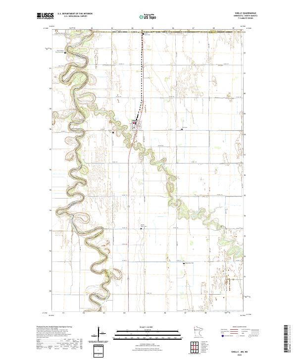
2022 Map of Shelly
USGS Topo · Published 2022About this map
The Red River of the North defines the winding boundary between Minnesota and North Dakota, its serpentine path anchoring the settlement of Shelly. This landscape is characterized by the complex interaction of river systems, where the Marsh River and Goose River meet the primary waterway amidst a network of drainage infrastructure like Mickelson Drain No 27. For those tracing regional heritage, the map is remarkably dense with cemetery locations that reflect early pioneer and church footprints, including the Traill County Poor Farm Cem and Saint Petri Cem. The concentration of sites like Shelly Cem, Zion Cem, and Augustana Cem suggests a once-active rural social fabric organized around these small community centers and parish grounds along the river's fertile banks.
Find a feature on this map
37 named features on this map. Tap any name to fly to it.
Don’t see what you’re looking for? This feature index may not catch every label — zoom into the map to look around manually.
Map Details
Editions of this 2022 Shelly Map
This is the sole edition of this map. No revisions or reprints were ever made.
Other maps of this area

1918 · Hendrum
USGS Topo · 1:62,500

1919 · Eldred
USGS Topo · 1:62,500

1919 · Beltrami
USGS Topo · 1:62,500

1924 · Ada
USGS Topo · 1:62,500

1952 · Grand Forks
USGS Topo · 1:250,000

1956 · Grand Forks
USGS Topo · 1:250,000

1963 · Shelly
USGS Topo · 1:24,000

1963 · Halstad
USGS Topo · 1:24,000

1963 · Halstad SW
USGS Topo · 1:24,000

1964 · Beltrami SW
USGS Topo · 1:24,000