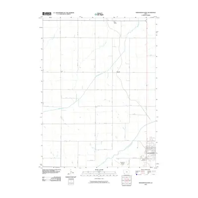
2010 Map of Shenandoah West
USGS Topo · Published 2010About this map
The East Nishnabotna River flows through the southeastern corner of this landscape, defining the edge of Shenandoah just before the river's path winds south. This 2010 survey illustrates a primarily agricultural region structured by an extensive grid of section roads, including Manti Rd and Airport Rd. Small, named locales like Farmer City, Summit, and Corey dot the township-and-range lines, representing historical points of interest in the rural countryside of Page County.
Find a feature on this map
35 named features on this map. Tap any name to fly to it.
Don’t see what you’re looking for? This feature index may not catch every label — zoom into the map to look around manually.
Map Details
Editions of this 2010 Shenandoah West Map
This is the sole edition of this map. No revisions or reprints were ever made.
Other maps of this area

1939 · Farragut
USGS Topo · 1:62,500

1939 · Hamburg
USGS Topo · 1:62,500

1940 · Farragut
USGS Topo · 1:62,500

1941 · Hamburg
USGS Topo · 1:62,500

1955 · Nebraska City
USGS Topo · 1:250,000

1957 · Nebraska City
USGS Topo · 1:250,000

1957 · Randolph
USGS Topo · 1:24,000

1957 · Tabor NE
USGS Topo · 1:24,000

1958 · Nebraska City
USGS Topo · 1:250,000

1978 · Shenandoah East
USGS Topo · 1:24,000