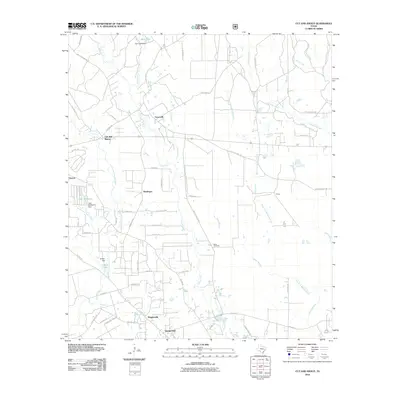
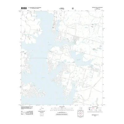
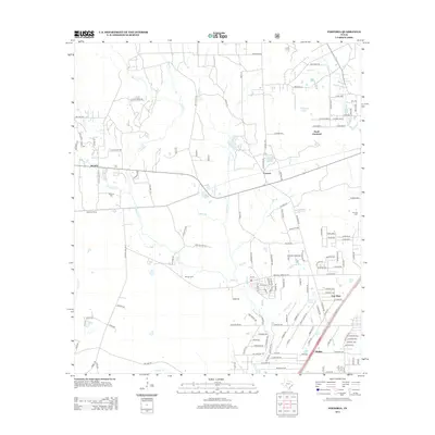
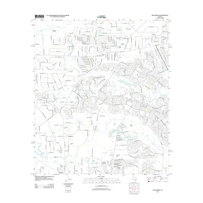
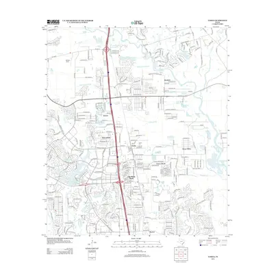
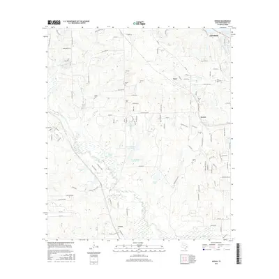
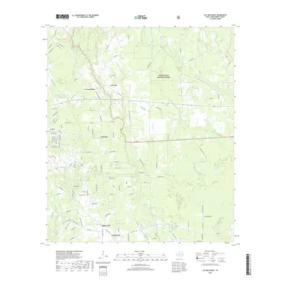
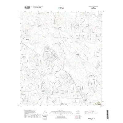
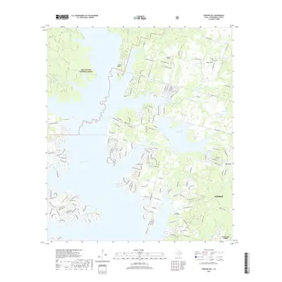
1958 Map of Shepard Hill
USGS Topo · Published 1977About this map
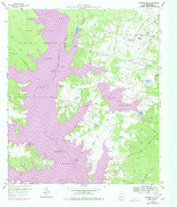
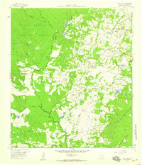
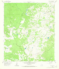
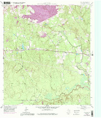
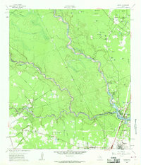
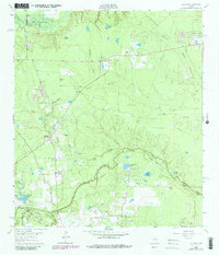
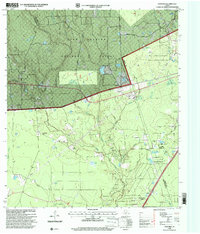
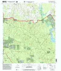
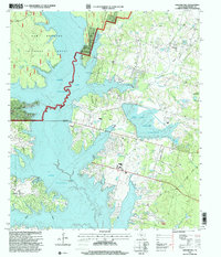
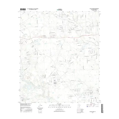
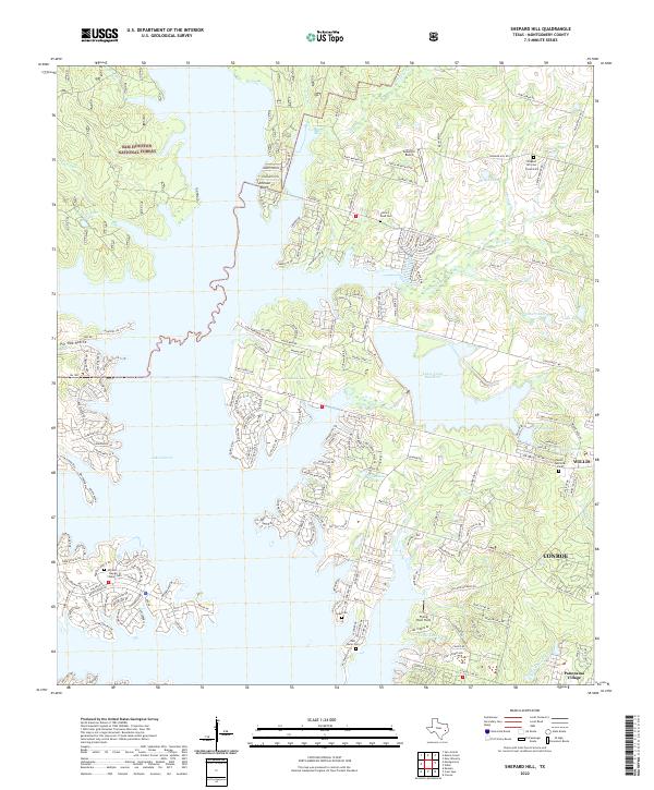
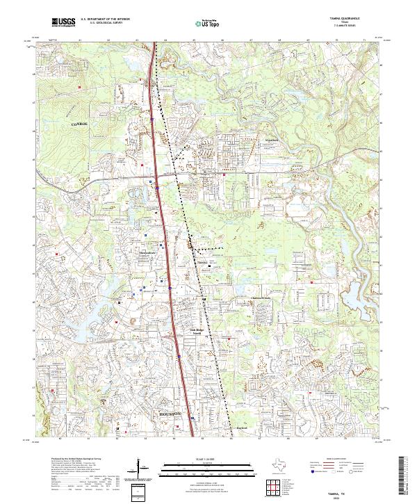
Sam Houston National Forest dominates the northwestern landscape of this Montgomery County region, where the wooded terrain meets the expanding waters of Conroe Lake. This edition reflects a period of significant hydrological and industrial change, documenting the Lewis Creek Reservoir and the Willis Oil Field north of the primary lake basin. The intricate shoreline of the reservoir reaches into the drainages of Lewis Creek and Bell Line Branch, illustrating how local topography was reshaped for water management.
Find a feature on this map
32 named features on this map. Tap any name to fly to it.
Don’t see what you’re looking for? This feature index may not catch every label — zoom into the map to look around manually.
Map Details
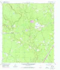
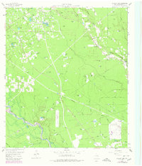
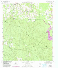
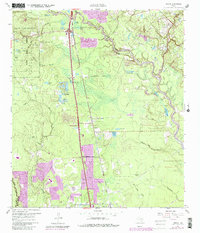
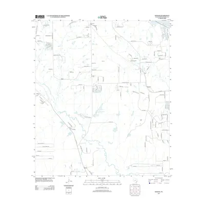
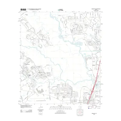
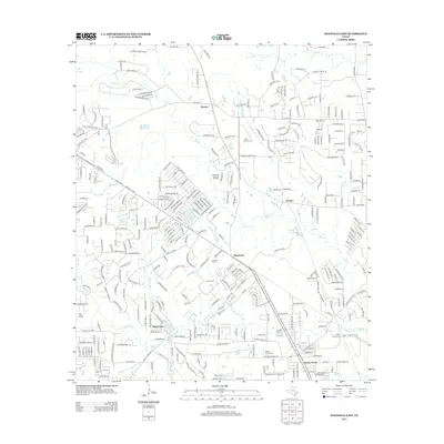
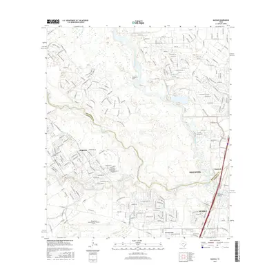
Editions of this 1958 Shepard Hill Map
3 editions found
Historical Maps of Conroe Through Time
72 maps found
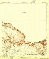
1919 Weeden
Montgomery County, TX
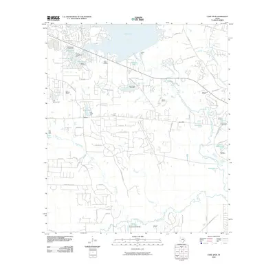
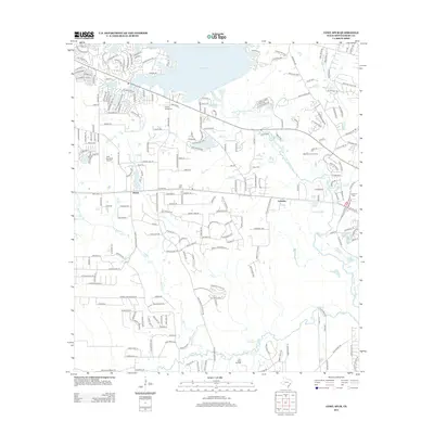
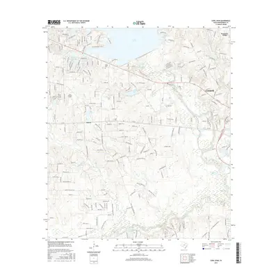
1958 Cowl Spur
Montgomery County, TX
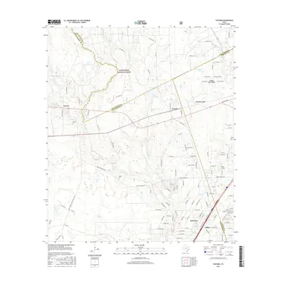
1958 Fostoria
Montgomery County, TX
1958 Shepard Hill
Montgomery County, TX
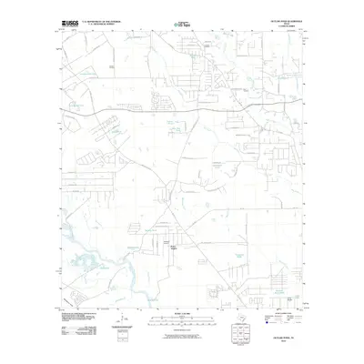
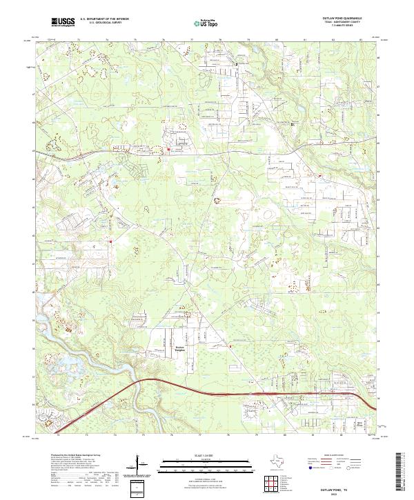
1959 Outlaw Pond
Montgomery County, TX
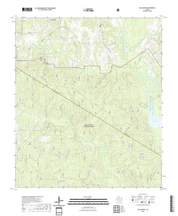
1959 San Jacinto
Montgomery County, TX
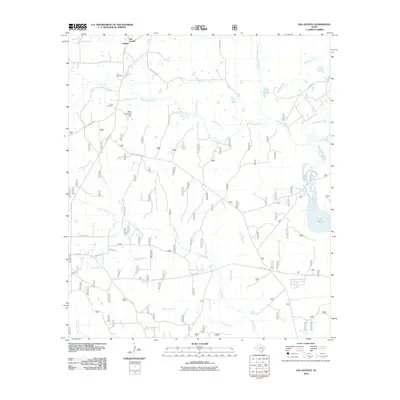
1961 Maedan
Montgomery County, TX
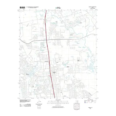
1961 Tamina
Montgomery County, TX
1962 Keenan
Montgomery County, TX
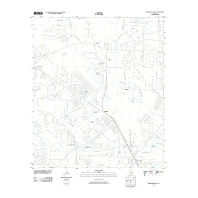
1962 Magnolia East
Montgomery County, TX
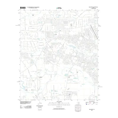
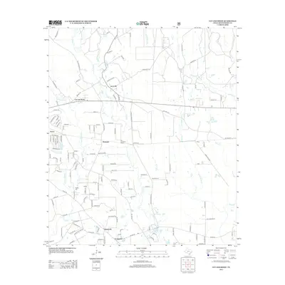
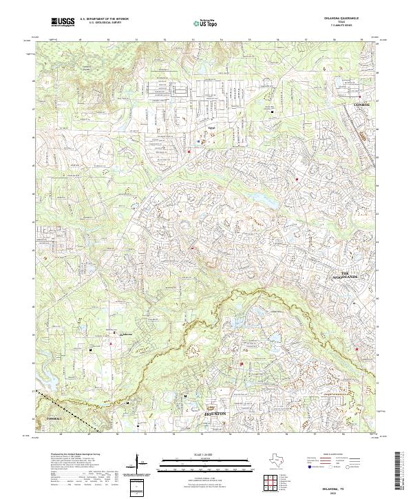
1962 Oklahoma
Montgomery County, TX
1982 Maedan
Montgomery County, TX
1995 Maedan
Montgomery County, TX
1997 Cut And Shoot
Montgomery County, TX
1997 Fostoria
Montgomery County, TX
1997 San Jacinto
Montgomery County, TX
1997 Shepard Hill
Montgomery County, TX
2010 Cowl Spur
Montgomery County, TX
2010 Cut And Shoot
Montgomery County, TX
2010 Fostoria
Montgomery County, TX
2010 Keenan
Montgomery County, TX
2010 Maedan
Montgomery County, TX
2010 Magnolia East
Montgomery County, TX
2010 Oklahoma
Montgomery County, TX
2010 Outlaw Pond
Montgomery County, TX
2010 San Jacinto
Montgomery County, TX
2010 Shepard Hill
Montgomery County, TX
2010 Tamina
Montgomery County, TX
2013 Cowl Spur
Montgomery County, TX
2013 Cut And Shoot
Montgomery County, TX
2013 Fostoria
Montgomery County, TX
2013 Keenan
Montgomery County, TX
2013 Maedan
Montgomery County, TX
2013 Magnolia East
Montgomery County, TX
2013 Oklahoma
Montgomery County, TX
2013 Outlaw Pond
Montgomery County, TX
2013 San Jacinto
Montgomery County, TX
2013 Shepard Hill
Montgomery County, TX
2013 Tamina
Montgomery County, TX
2016 Cowl Spur
Montgomery County, TX
2016 Cut And Shoot
Montgomery County, TX
2016 Fostoria
Montgomery County, TX
2016 Keenan
Montgomery County, TX
2016 Maedan
Montgomery County, TX
2016 Magnolia East
Montgomery County, TX
2016 Oklahoma
Montgomery County, TX
2016 Outlaw Pond
Montgomery County, TX

2016 San Jacinto
Montgomery County, TX
2016 Shepard Hill
Montgomery County, TX
2016 Tamina
Montgomery County, TX
2019 Cowl Spur
Montgomery County, TX
2019 Cut And Shoot
Montgomery County, TX
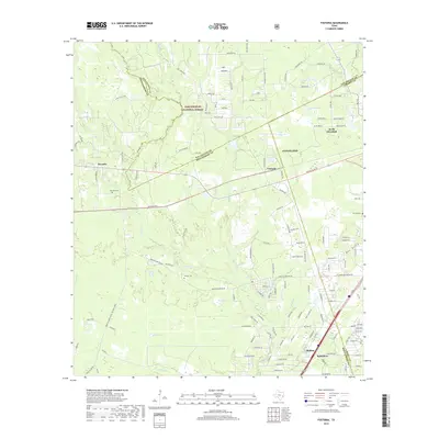
2019 Fostoria
Montgomery County, TX
2019 Keenan
Montgomery County, TX
2019 Maedan
Montgomery County, TX
2019 Magnolia East
Montgomery County, TX
2019 Oklahoma
Montgomery County, TX
2019 Outlaw Pond
Montgomery County, TX
2019 San Jacinto
Montgomery County, TX
2019 Shepard Hill
Montgomery County, TX
2019 Tamina
Montgomery County, TX
2022 Cowl Spur
Montgomery County, TX
2022 Cut And Shoot
Montgomery County, TX
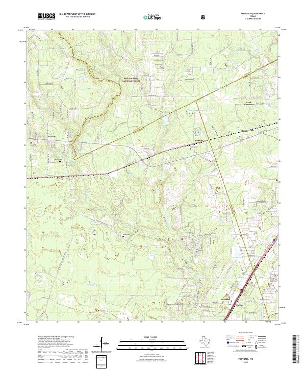
2022 Fostoria
Montgomery County, TX
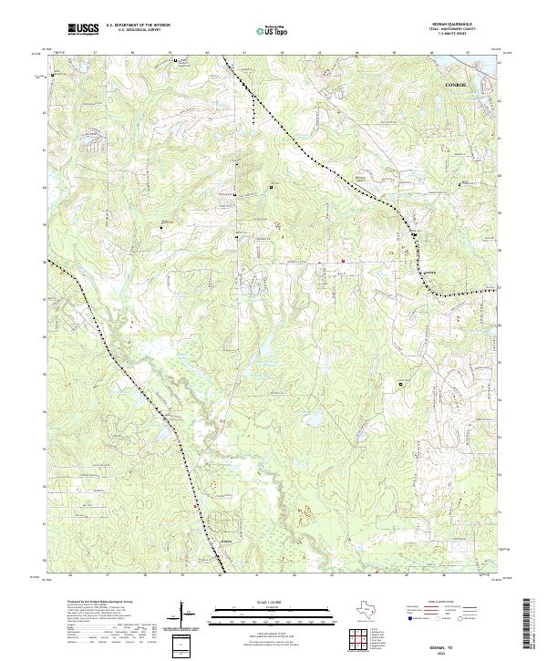
2022 Keenan
Montgomery County, TX
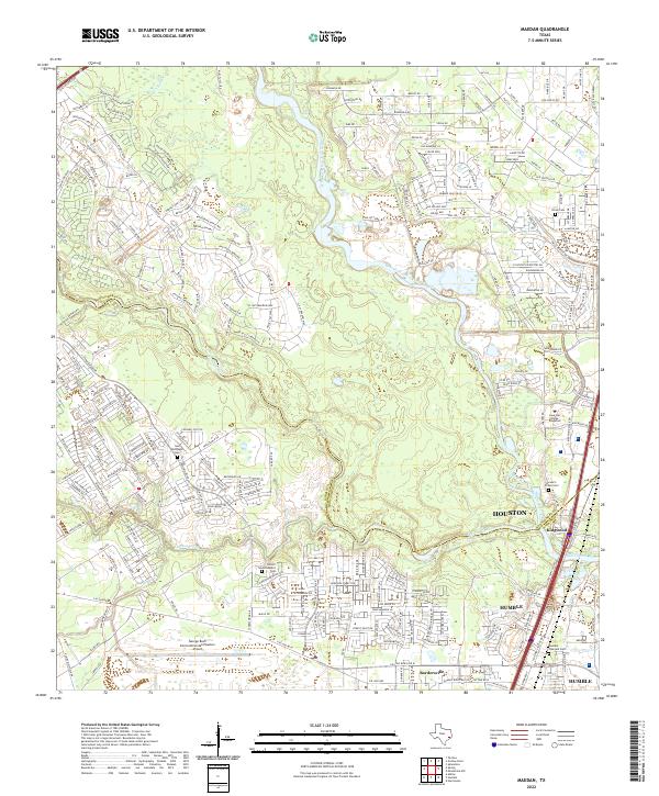
2022 Maedan
Montgomery County, TX
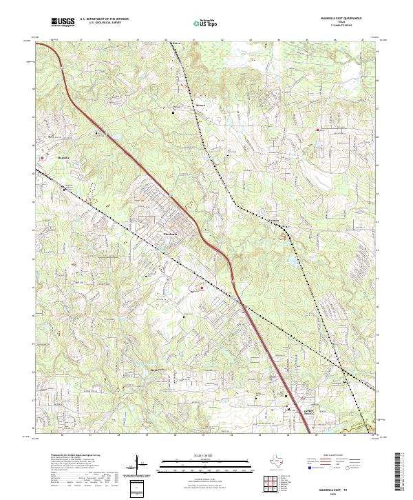
2022 Magnolia East
Montgomery County, TX
2022 Oklahoma
Montgomery County, TX
2022 Outlaw Pond
Montgomery County, TX
2022 San Jacinto
Montgomery County, TX
2022 Shepard Hill
Montgomery County, TX
2022 Tamina
Montgomery County, TX