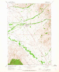
1963 Map of Sheridan
USGS Topo · Published 1964About this map
The Ruby River valley defines this mid-century landscape, characterized by an intricate network of irrigation canals and ditches that sustain the high Montana plains. Water management is the primary narrative here, with family-named infrastructure like the Edelman Ditch, Sennett Ditch, and Bullerdick Ditch crisscrossing the terrain to support local ranching. The town of Sheridan serves as the hub, situated along the Northern Pacific railroad and the historic Vigilante route.
Find a feature on this map
54 named features on this map. Tap any name to fly to it.
Don’t see what you’re looking for? This feature index may not catch every label — zoom into the map to look around manually.
Map Details
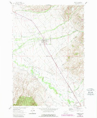
Editions of this 1963 Sheridan Map
2 editions found
Other maps of this area

1893 · Dillon
USGS Topo · 1:250,000

1955 · Dillon
USGS Topo · 1:250,000

1957 · Dillon
USGS Topo · 1:250,000

1958 · Dillon
USGS Topo · 1:250,000

1960 · Twin Bridges
USGS Topo · 1:62,500

1960 · Waterloo
USGS Topo · 1:62,500

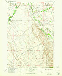
1961 · Beaverhead Rock SE
USGS Topo · 1:24,000

1962 · Dillon
USGS Topo · 1:250,000
1962 · Beaverhead Rock NE
USGS Topo · 1:24,000
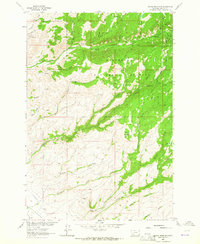
1963 · Copper Mountain
USGS Topo · 1:24,000