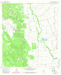
1965 Map of Sheridan NE
USGS Topo · Published 1983About this map
The Sheridan Gas Field dominates the western landscape of this mid-1960s survey, illustrating the extensive industrial footprint of energy extraction in rural Texas. A network of pipelines and access roads cuts across the drainage basins of East Sandy Creek, Middle Sandy Creek, and West Sandy Creek, while numerous Gas Wells and an Oil Well are scattered throughout the brush. This area on the Colorado and Lavaca county line represents a specialized industrial environment where natural resource management is the primary driver of development.
Find a feature on this map
18 named features on this map. Tap any name to fly to it.
Don’t see what you’re looking for? This feature index may not catch every label — zoom into the map to look around manually.
Map Details
Editions of this 1965 Sheridan NE Map
2 editions found
Other maps of this area

1953 · Seguin
USGS Topo · 1:250,000

1956 · Glidden
USGS Topo · 1:62,500

1957 · Eagle Lake
USGS Topo · 1:62,500

1957 · Altair
USGS Topo · 1:24,000

1958 · Seguin
USGS Topo · 1:250,000

1959 · Garwood
USGS Topo · 1:24,000

1964 · Speaks
USGS Topo · 1:24,000

1965 · Sawmill Branch
USGS Topo · 1:24,000

1965 · Rock Island
USGS Topo · 1:24,000
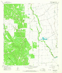
1965 · Sheridan NE
USGS Topo · 1:24,000