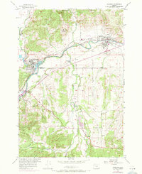
1956 Map of Sheridan
USGS Topo · Published 1971About this map
Sheridan and Willamina anchor this mid-century look at the border of Yamhill and Polk counties. The South Yamhill River serves as the primary drainage and industrial corridor, supporting the Millponds near the confluence of Willamina Creek. Transportation is well-defined by the Southern Pacific and Longview Portland and Northern railroads, which parallel the river and the Pacific Highway through Shipley.
Find a feature on this map
27 named features on this map. Tap any name to fly to it.
Don’t see what you’re looking for? This feature index may not catch every label — zoom into the map to look around manually.
Map Details
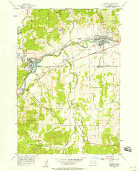
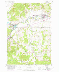
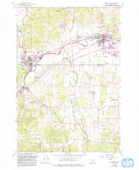
Editions of this 1956 Sheridan Map
4 editions found
Other maps of this area

1942 · Sheridan
USGS Topo · 1:62,500

1942 · Spirit Mtn
USGS Topo · 1:62,500

1942 · Valsetz
USGS Topo · 1:62,500

1942 · Dallas
USGS Topo · 1:62,500

1948 · Vancouver
USGS Topo · 1:250,000

1950 · Vancouver
USGS Topo · 1:250,000

1950 · Vancouver
USGS Topo · 1:250,000

1953 · Salem
USGS Topo · 1:250,000

1954 · Salem
USGS Topo · 1:250,000

1955 · Grand Ronde
USGS Topo · 1:62,500