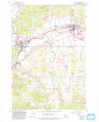
1956 Map of Sheridan
USGS Topo · Published 1993About this map
The South Yamhill River winds through this mid-century landscape, anchoring the neighboring settlements of Sheridan and Willamina during a period of transition in the Willamette Valley. The map captures the agricultural and institutional character of the border between Yamhill Co and Polk Co, marked by large holdings like the Federal Correctional Institution and the Delphian School north of the river.
Find a feature on this map
35 named features on this map. Tap any name to fly to it.
Don’t see what you’re looking for? This feature index may not catch every label — zoom into the map to look around manually.
Map Details
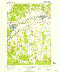
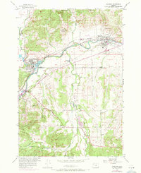
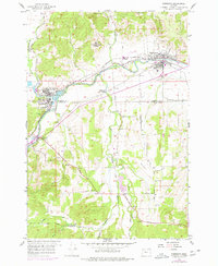
Editions of this 1956 Sheridan Map
4 editions found
Other maps of this area

1942 · Sheridan
USGS Topo · 1:62,500

1942 · Spirit Mtn
USGS Topo · 1:62,500

1942 · Valsetz
USGS Topo · 1:62,500

1942 · Dallas
USGS Topo · 1:62,500

1948 · Vancouver
USGS Topo · 1:250,000

1950 · Vancouver
USGS Topo · 1:250,000

1950 · Vancouver
USGS Topo · 1:250,000

1953 · Salem
USGS Topo · 1:250,000

1954 · Salem
USGS Topo · 1:250,000

1955 · Grand Ronde
USGS Topo · 1:62,500