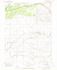
1953 Map of Sheridan
USGS Topo · Published 1964About this map
Sheridan anchors the northeastern corner of this landscape, situated along the Southern Pacific railroad line where the terrain transitions from the alluvial plains into the rising foothills. The northern portion of the map is defined by the Bear River and its intricate system of levees, which protected the surrounding agricultural lands including the historical Johnson Grant Boundary. These levees reflect a mid-century period of intense water management in the Central Valley, necessary to control the seasonal flows of the river and its numerous distributaries like Yankee Slough and Dry Creek Slough.
Find a feature on this map
17 named features on this map. Tap any name to fly to it.
Don’t see what you’re looking for? This feature index may not catch every label — zoom into the map to look around manually.
Map Details
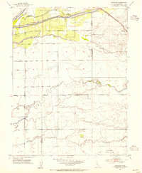
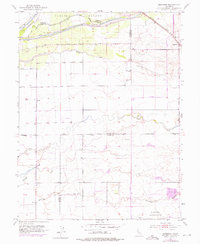
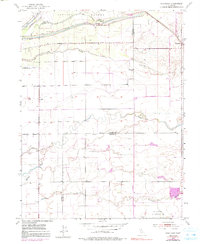
Editions of this 1953 Sheridan Map
4 editions found
Other maps of this area

1888 · Marysville
USGS Topo · 1:125,000

1888 · Smartsville
USGS Topo · 1:125,000

1891 · Sacramento
USGS Topo · 1:125,000

1891 · Marysville
USGS Topo · 1:125,000

1891 · Smartsville
USGS Topo · 1:125,000

1892 · Sacramento
USGS Topo · 1:125,000

1892 · Smartsville
USGS Topo · 1:125,000

1893 · Sacramento
USGS Topo · 1:125,000

1894 · Smartsville
USGS Topo · 1:125,000

1894 · Marysville
USGS Topo · 1:125,000