1980 Map of Sheridan
USGS Topo · Published 1981About this map
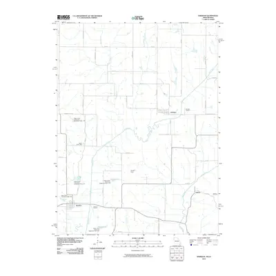
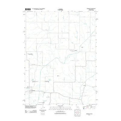
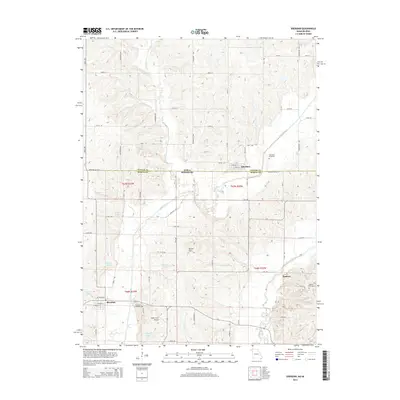
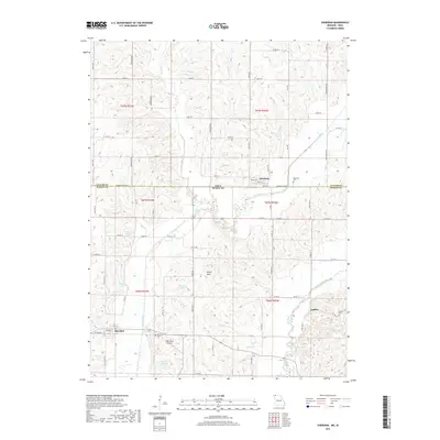
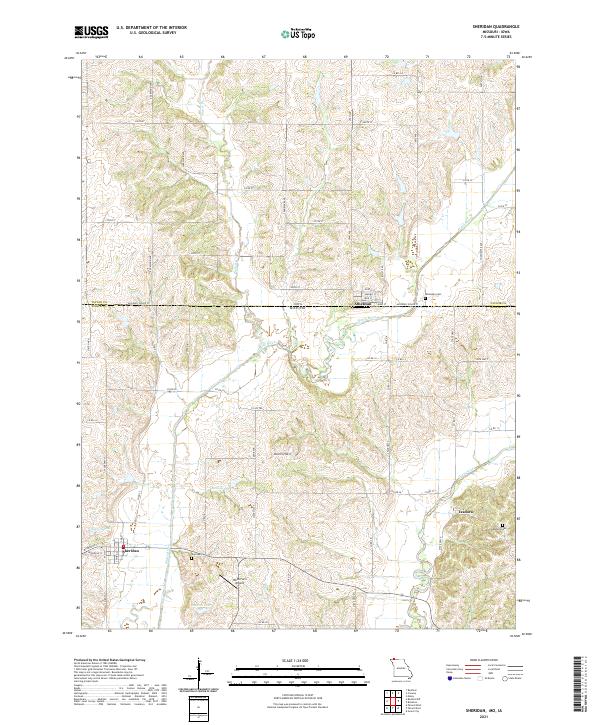
Sheridan anchors the southwestern corner of this survey, positioned along the Chicago and North Western rail line as it cuts through the undulating landscape of Union and Jefferson townships. The map illustrates a rural borderlands environment where the Iowa Missouri state line divides agricultural lands. The hydrology of the region is defined by the Platte River and its tributary Platte Branch, which carve through the terrain near the settlement of Athelstan. To the southeast, the Grand River flows near Isadora, a small community accompanied by its local Isadora Cem. This period of the late 1970s shows a landscape still defined by traditional township boundaries and the proximity of small towns to the rail corridor. Notable local landmarks like the Devils Horn and a Water Tank in Sheridan provide specific points of interest for those tracing the historical footprint of Worth County.
Find a feature on this map
20 named features on this map. Tap any name to fly to it.
Don’t see what you’re looking for? This feature index may not catch every label — zoom into the map to look around manually.
Map Details
Editions of this 1980 Sheridan Map
This is the sole edition of this map. No revisions or reprints were ever made.
Historical Maps of Sheridan Through Time
6 maps found