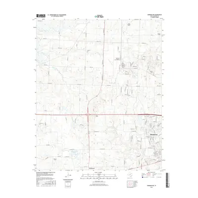
2016 Map of Sherman NW
USGS Topo · Published 2016About this map
Sherman and the surrounding Grayson County landscape are defined by a mix of aviation infrastructure and suburban expansion. The North Texas Regional Airport/Perrin Field dominates the central portion of the map, flanked by smaller airstrips like Butler Airport and Nuggs Flying M Airport. This concentration of runways illustrates the region's importance to North Texas aviation. To the south, the city of Southmayd sits near the intersection of several local routes, while the northwestern edge of Sherman shows a dense residential grid transitioning into more open land.
Find a feature on this map
104 named features on this map. Tap any name to fly to it.
Don’t see what you’re looking for? This feature index may not catch every label — zoom into the map to look around manually.
Map Details
Editions of this 2016 Sherman NW Map
This is the sole edition of this map. No revisions or reprints were ever made.
Other maps of this area

1901 · Denison
USGS Topo · 1:125,000

1954 · Sherman
USGS Topo · 1:250,000

1957 · Denison Dam
USGS Topo · 1:24,000

1958 · Dorchester
USGS Topo · 1:24,000

1958 · Gordonville
USGS Topo · 1:62,500

1958 · Denison Dam
USGS Topo · 1:62,500

1958 · Sherman NW
USGS Topo · 1:24,000

1958 · Whitesboro
USGS Topo · 1:62,500

1958 · Sherman
USGS Topo · 1:250,000

1958 · Sherman
USGS Topo · 1:62,500