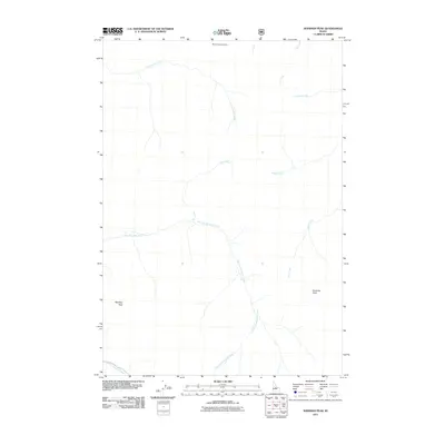
2011 Map of Sherman Peak
USGS Topo · Published 2011About this map
Sherman Peak and Mayfield Peak define the high-elevation drainage systems of this high mountain region in Custer County. The landscape is characterized by a complex network of waterways, where the East Fork Mayfield Creek and West Fork Mayfield Creek converge to shape the local hydrology. This 2011 survey by the U.S. Geological Survey and U.S. Forest Service documents the precise topography of the ridgelines and creek beds that have likely dictated movement through these mountains for generations. North of the peaks, Mid Cottonwood Point overlooks the winding path of Cottonwood Creek, while smaller tributaries like Ibex Creek, McKee Creek, and Wickiup Creek feed into the larger basins. The lack of named settlements emphasizes the character of the terrain as a managed forest environment, where the nomenclature reflects family or descriptive names given to the various drainages and summits.
Find a feature on this map
12 named features on this map. Tap any name to fly to it.
Don’t see what you’re looking for? This feature index may not catch every label — zoom into the map to look around manually.
Map Details
Editions of this 2011 Sherman Peak Map
This is the sole edition of this map. No revisions or reprints were ever made.
Other maps of this area

1919 · Custer
USGS Topo · 1:125,000

1922 · Custer
USGS Topo · 1:125,000

1930 · Casto
USGS Topo · 1:125,000

1957 · Challis
USGS Topo · 1:250,000

1960 · Challis
USGS Topo · 1:250,000

1963 · Challis
USGS Topo · 1:250,000

1963 · Challis Creek Lakes
USGS Topo · 1:24,000

1963 · Custer
USGS Topo · 1:24,000

1963 · Casto
USGS Topo · 1:24,000

1963 · Rock Creek
USGS Topo · 1:24,000