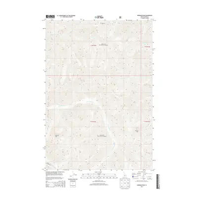
2013 Map of Sherman Peak
USGS Topo · Published 2013About this map
Challis National Forest dominates this high-elevation terrain in Custer County, Idaho, where the landscape is defined by a dense network of watercourses and prominent summits. The drainage pattern centers on the E Fork Mayfield Cr, which is joined by the W Fork Mayfield Cr in the southern reaches of the map. High points such as Sherman Peak and Mayfield Peak provide significant landmarks for navigation through these protected lands. The presence of Loon Creek Rd in the southwest corner represents one of the few improved routes through an area otherwise characterized by numerous named tributaries, including Rush Cr, Ibex Cr, and Cottonwood Cr. The topography reveals a complex system of ridges and peaks, including the aptly named Mid Cottonwood Point, as they appeared during this 2013 survey.
Find a feature on this map
19 named features on this map. Tap any name to fly to it.
Don’t see what you’re looking for? This feature index may not catch every label — zoom into the map to look around manually.
Map Details
Editions of this 2013 Sherman Peak Map
This is the sole edition of this map. No revisions or reprints were ever made.
Other maps of this area

1919 · Custer
USGS Topo · 1:125,000

1922 · Custer
USGS Topo · 1:125,000

1930 · Casto
USGS Topo · 1:125,000

1957 · Challis
USGS Topo · 1:250,000

1960 · Challis
USGS Topo · 1:250,000

1963 · Challis
USGS Topo · 1:250,000

1963 · Challis Creek Lakes
USGS Topo · 1:24,000

1963 · Custer
USGS Topo · 1:24,000

1963 · Casto
USGS Topo · 1:24,000

1963 · Rock Creek
USGS Topo · 1:24,000