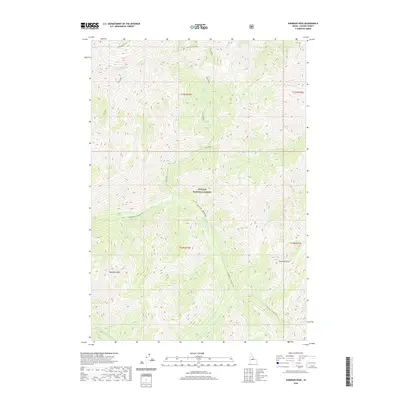
2020 Map of Sherman Peak
USGS Topo · Published 2020About this map
Challis National Forest dominates this section of Custer County, where the high ridges of the Salmon River Mountains dictate the movement of both water and travel. The topography is defined by prominent summits including Sherman Peak and Mayfield Peak, which serve as the primary hydrologic divides for the numerous drainages that carve through the landscape.
Find a feature on this map
19 named features on this map. Tap any name to fly to it.
Don’t see what you’re looking for? This feature index may not catch every label — zoom into the map to look around manually.
Map Details
Editions of this 2020 Sherman Peak Map
This is the sole edition of this map. No revisions or reprints were ever made.
Other maps of this area

1919 · Custer
USGS Topo · 1:125,000

1922 · Custer
USGS Topo · 1:125,000

1930 · Casto
USGS Topo · 1:125,000

1957 · Challis
USGS Topo · 1:250,000

1960 · Challis
USGS Topo · 1:250,000

1963 · Challis
USGS Topo · 1:250,000

1963 · Challis Creek Lakes
USGS Topo · 1:24,000

1963 · Custer
USGS Topo · 1:24,000

1963 · Casto
USGS Topo · 1:24,000

1963 · Rock Creek
USGS Topo · 1:24,000