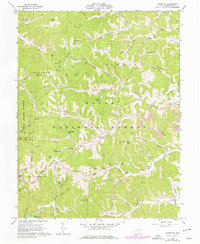
1961 Map of Sherritts
USGS Topo · Published 1977About this map
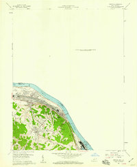
Wayne National Forest dominates this section of southern Ohio, where the ridge-and-valley landscape is defined by tight hollows and high knobs like Stewart Knob and Tipton Knob. The settlement at Sherritts serves as a central point in a region primarily shaped by natural resources and timber management, evidenced by the presence of the Kimble Lookout Tower and the sprawling Dean State Forest to the west. Evidence of human industry and community is scattered through the timber, from the Strip Mine operations near Negro Creek to numerous country cemeteries and churches such as Macedonia Ch and Palestine Ch. The southern reaches of the map show the recreational and water management developments of the mid-century, including Izaak Walton Lake and the northern tip of Lake Vesuvius. These features, alongside the Historic Ruins near Nelson Bridge, offer a window into the varied layers of land use in Lawrence County.
Find a feature on this map
79 named features on this map. Tap any name to fly to it.
Don’t see what you’re looking for? This feature index may not catch every label — zoom into the map to look around manually.
Map Details
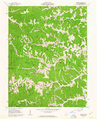
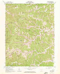
Editions of this 1961 Sherritts Map
3 editions found
Other maps of this area

1898 · Ironton
USGS Topo · 1:62,500

1900 · Ironton
USGS Topo · 1:62,500

1906 · Bidwell
USGS Topo · 1:62,500

1906 · Athalia
USGS Topo · 1:62,500

1908 · Bidwell
USGS Topo · 1:62,500

1908 · Athalia
USGS Topo · 1:62,500

1912 · Oak Hill
USGS Topo · 1:62,500
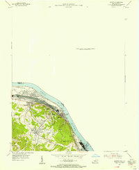
1953 · Ironton
USGS Topo · 1:24,000

1957 · Huntington
USGS Topo · 1:250,000
1958 · Ironton
USGS Topo · 1:24,000