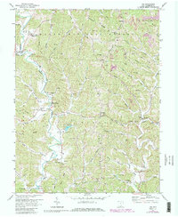
1972 Map of Aid
USGS Topo · Published 1985About this map
Wayne National Forest lands cover much of this section of southern Ohio, where the drainage systems of Symmes Creek and Indian Guyan Creek have carved a complex landscape of ridges and hollows. The rural character of the area is defined by small crossroads settlements such as Willow Wood, Linnville, and Aid. For genealogists, the map is a primary resource, documenting numerous family and community burial sites like Callicoat Cem, Forgey Cem, and Kingrey Cem.
Find a feature on this map
81 named features on this map. Tap any name to fly to it.
Don’t see what you’re looking for? This feature index may not catch every label — zoom into the map to look around manually.
Map Details
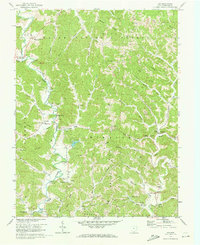
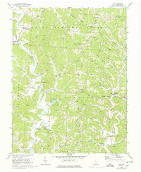
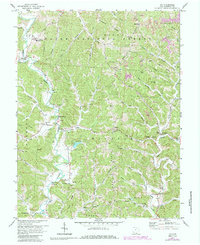
Editions of this 1972 Aid Map
4 editions found
Other maps of this area

1892 · Huntington
USGS Topo · 1:125,000

1898 · Huntington
USGS Topo · 1:125,000

1898 · Ironton
USGS Topo · 1:62,500

1900 · Ironton
USGS Topo · 1:62,500

1901 · Guyandot
USGS Topo · 1:62,500

1901 · Ceredo
USGS Topo · 1:62,500

1902 · Guyandot
USGS Topo · 1:62,500

1903 · Kenova
USGS Topo · 1:125,000

1904 · Kenova
USGS Topo · 1:125,000

1906 · Athalia
USGS Topo · 1:62,500