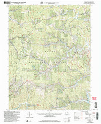
2002 Map of Sherritts
USGS Topo · Published 2006About this map
Wayne National Forest and Dean State Forest dominate this Lawrence County landscape, where the rugged ridge-and-hollow topography is carved by a dense network of watercourses including Symmes Creek, Johns Creek, and Aaron Creek. The map documents a rural Ohio terrain defined by its timber and mineral extraction history, noted by several strip mines and gas wells scattered among the peaks. Genealogists will find a wealth of specific local landmarks, from the Indian Mound near Yates Cem to numerous family-named burial grounds like Littles Cem and Aldridge Cem. The era's community life is anchored by small rural congregations such as Macedonia Ch and Zoar Ch. Small settlements like Sherritts and Cannons appear alongside recreational landmarks like Lake Vesuvius and Izaak Walton Lake, providing a clear look at how land use for both industry and public conservation coexisted at the start of the 21st century.
Find a feature on this map
80 named features on this map. Tap any name to fly to it.
Don’t see what you’re looking for? This feature index may not catch every label — zoom into the map to look around manually.
Map Details
Editions of this 2002 Sherritts Map
This is the sole edition of this map. No revisions or reprints were ever made.
Other maps of this area

1898 · Ironton
USGS Topo · 1:62,500

1900 · Ironton
USGS Topo · 1:62,500

1906 · Bidwell
USGS Topo · 1:62,500

1906 · Athalia
USGS Topo · 1:62,500

1908 · Bidwell
USGS Topo · 1:62,500

1908 · Athalia
USGS Topo · 1:62,500

1912 · Oak Hill
USGS Topo · 1:62,500
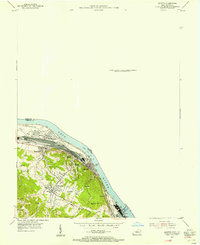
1953 · Ironton
USGS Topo · 1:24,000

1957 · Huntington
USGS Topo · 1:250,000
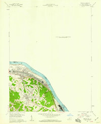
1958 · Ironton
USGS Topo · 1:24,000