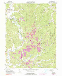
1961 Map of Pedro
USGS Topo · Published 1990About this map
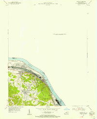
Industrial remnants define this landscape near Pedro, where numerous old iron furnaces and clay operations once drove the local economy. The terrain is marked by the presence of historical industry, including the Howard Furnace, Buckhorn Furnace, and Lawrence Furnace, highlighting the importance of the charcoal iron industry in this corner of the Wayne National Forest. Transportation networks like the Toledo and Detroit Railroad and the Ironton and Toledo Railroad weave through the hollows, connecting settlements such as Superior and Lisman to the wider region. Family history and local genealogy are well-represented by numerous burial grounds and schools, including the Township Sch Cem, Rogers Cem, and Pine Creek Sch. Topographical details also show specialized industrial infrastructure like a Conveyor and several claypits and strip mines that appear as purple-tinted revisions to the earlier 1961 field data.
Find a feature on this map
94 named features on this map. Tap any name to fly to it.
Don’t see what you’re looking for? This feature index may not catch every label — zoom into the map to look around manually.
Map Details
Editions of this 1961 Pedro Map
4 editions found
Other maps of this area

1898 · Ironton
USGS Topo · 1:62,500

1900 · Ironton
USGS Topo · 1:62,500

1911 · Sciotoville
USGS Topo · 1:62,500

1912 · Oak Hill
USGS Topo · 1:62,500

1913 · Sciotoville
USGS Topo · 1:62,500

1926 · Greenup
USGS Topo · 1:48,000

1930 · Greenup
USGS Topo · 1:62,500

1953 · Greenup
USGS Topo · 1:24,000
1953 · Ironton
USGS Topo · 1:24,000

1957 · Huntington
USGS Topo · 1:250,000