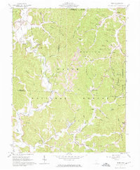
1961 Map of Pedro
USGS Topo · Published 1974About this map
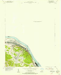
The Wayne National Forest dominates this landscape along the border of Scioto and Lawrence counties, where the industrial history of southern Ohio is etched into the hills. The map highlights the region's transition from 19th-century iron production to mid-20th-century resource extraction, marked by the presence of Buckhorn Furnace (Ruins) and Lawrence Furnace (Ruins). These historic sites are surrounded by active Strip Mines and numerous Claypits, particularly near the settlement of Superior. The Detroit Toledo and Ironton railroad winds through the valleys, connecting small communities like Pedro and Lisman to the larger transport network. Researchers can identify local landmarks such as the Pilot Knob Lookout Tower and several remote family burial grounds, including Finley Cem and Rogers Cem, which remain tucked away in the steep hollows.
Find a feature on this map
89 named features on this map. Tap any name to fly to it.
Don’t see what you’re looking for? This feature index may not catch every label — zoom into the map to look around manually.
Map Details
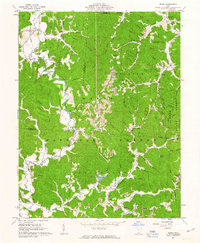
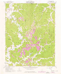
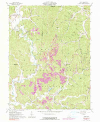
Editions of this 1961 Pedro Map
4 editions found
Other maps of this area

1898 · Ironton
USGS Topo · 1:62,500

1900 · Ironton
USGS Topo · 1:62,500

1911 · Sciotoville
USGS Topo · 1:62,500

1912 · Oak Hill
USGS Topo · 1:62,500

1913 · Sciotoville
USGS Topo · 1:62,500

1926 · Greenup
USGS Topo · 1:48,000

1930 · Greenup
USGS Topo · 1:62,500

1953 · Greenup
USGS Topo · 1:24,000
1953 · Ironton
USGS Topo · 1:24,000

1957 · Huntington
USGS Topo · 1:250,000