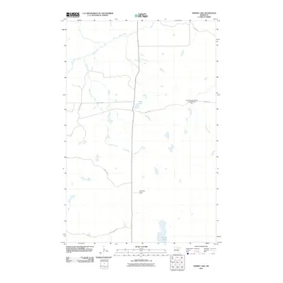
2010 Map of Sherry Lake
USGS Topo · Published 2010About this map
Bear River and Sturgeon River wind through this corner of Itasca County, defining a landscape shaped by water and wildlife management. The eastern portion of the map is dominated by the Louis Peloquin Wildlife Impoundment, which is controlled by the Louis Peloquin Wildlife Impoundment Dam. This area represents the managed Northwoods environment where natural watercourses like Stony Brook intersect with modern conservation infrastructure.
Find a feature on this map
13 named features on this map. Tap any name to fly to it.
Don’t see what you’re looking for? This feature index may not catch every label — zoom into the map to look around manually.
Map Details
Editions of this 2010 Sherry Lake Map
This is the sole edition of this map. No revisions or reprints were ever made.
Other maps of this area

1919 · Release
USGS Topo · 1:62,500

1943 · Release
USGS Topo · 1:62,500

1954 · Hibbing
USGS Topo · 1:250,000

1957 · Hibbing
USGS Topo · 1:250,000

1958 · Hibbing
USGS Topo · 1:250,000

1964 · Hibbing
USGS Topo · 1:250,000

1964 · Side Lake
USGS Topo · 1:24,000
1964 · Stingy Lake
USGS Topo · 1:24,000

1964 · Sherry Lake
USGS Topo · 1:24,000
1964 · O'Leary Lake
USGS Topo · 1:24,000