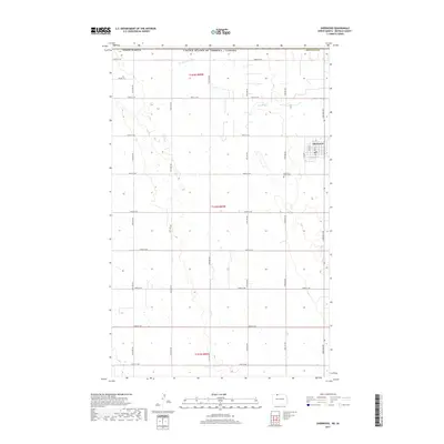
2017 Map of Sherwood
USGS Topo · Published 2017About this map
Sherwood sits in the far northern reaches of Renville County, positioned directly against the United States and Canada border. This high plains landscape is defined by the rigid grid of section roads, including 109th St NW and 42nd Ave NW, which partition the agricultural expanse. The town's local history is anchored by the Sherwood Union Cemetery south of the central grid, which features a detailed street plan including Main St, W 2nd St, and W 4th St. Cutting across the northern townships, Cut Bank Creek provides a natural break in the otherwise methodical township and range system. This survey documents the intersection of international boundary geography and the local community structure in the late 2010s.
Find a feature on this map
27 named features on this map. Tap any name to fly to it.
Don’t see what you’re looking for? This feature index may not catch every label — zoom into the map to look around manually.
Map Details
Editions of this 2017 Sherwood Map
This is the sole edition of this map. No revisions or reprints were ever made.
Other maps of this area

1948 · Mohall
USGS Topo · 1:24,000

1949 · Mohall SW
USGS Topo · 1:24,000

1949 · Mohall NE
USGS Topo · 1:24,000

1949 · Sherwood
USGS Topo · 1:24,000

1949 · Mouse River Park NE
USGS Topo · 1:24,000

1949 · Mouse River Park
USGS Topo · 1:24,000

1950 · Mohall
USGS Topo · 1:62,500
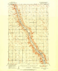
1950 · Mouse River Park
USGS Topo · 1:62,500

1954 · Minot
USGS Topo · 1:250,000

1958 · Minot
USGS Topo · 1:250,000