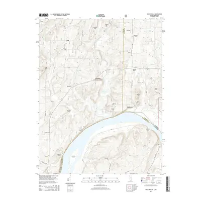
2015 Map of Shetlerville
USGS Topo · Published 2015About this map
The Ohio River carves a deep bend through the heart of this landscape, separating the Illinois shoreline from Carrsville in Kentucky. On the Illinois side, the Shetlerville community sits near the river bluffs, surrounded by the southern reaches of the Shawnee National Forest. The terrain is defined by a dense network of hollows and ridges, such as Hurricane Hollow and Melcher Hills, which hem in the drainage of Big Grand Pierre Creek and Threemile Cr.
Find a feature on this map
58 named features on this map. Tap any name to fly to it.
Don’t see what you’re looking for? This feature index may not catch every label — zoom into the map to look around manually.
Map Details
Editions of this 2015 Shetlerville Map
This is the sole edition of this map. No revisions or reprints were ever made.
Other maps of this area

1916 · Golconda
USGS Topo · 1:62,500

1916 · Equality
USGS Topo · 1:62,500

1917 · Brownfield
USGS Topo · 1:62,500

1920 · Goloonda
USGS Topo · 1:48,000

1921 · Golconda
USGS Topo · 1:62,500

1925 · Harrisburg
USGS Topo · 1:62,500

1939 · Harrisburg
USGS Topo · 1:62,500

1949 · Paducah
USGS Topo · 1:250,000

1950 · Paducah
USGS Topo · 1:250,000

1954 · Paducah
USGS Topo · 1:250,000