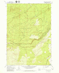
1962 Map of Shevlin Park
USGS Topo · Published 1979About this map
Shevlin Park and the rugged fringes of the Deschutes National Forest dominate this early 1960s landscape west of Bend. The terrain is marked by a transition from forested ridges like Swede Ridge and Triangle Hill to the complex water management systems essential for high-desert settlement. A network of man-made waterways, including the Columbia Southern Canal, Tumalo Canal, and Tumalo Feed Canal, crisscrosses the slopes to redirect flow from Tumalo Creek and Bull Spring Creek. These irrigation structures, alongside an Old Railroad Grade, reveal the industrial and agricultural efforts required to tame this portion of the high desert. The map also captures recreation and forestry infrastructure, such as Skyliners Road, the Highline Trail, and a Check Tower, reflecting the era's focus on timber management and early outdoor access near Fremont Meadow.
Find a feature on this map
22 named features on this map. Tap any name to fly to it.
Don’t see what you’re looking for? This feature index may not catch every label — zoom into the map to look around manually.
Map Details
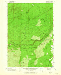
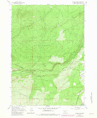
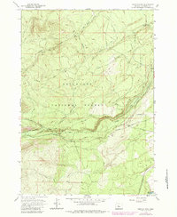
Editions of this 1962 Shevlin Park Map
4 editions found
Other maps of this area

1926 · Bend
USGS Topo · 1:125,000

1929 · Bend
USGS Topo · 1:125,000

1929 · Three Sisters
USGS Topo · 1:125,000

1930 · Maiden Peak
USGS Topo · 1:125,000

1931 · Newberry Crater
USGS Topo · 1:125,000

1932 · Three Sisters
USGS Topo · 1:125,000

1934 · Maiden Peak
USGS Topo · 1:125,000

1935 · Newberry Crater
USGS Topo · 1:125,000

1955 · Crescent
USGS Topo · 1:250,000

1955 · Bend
USGS Topo · 1:250,000