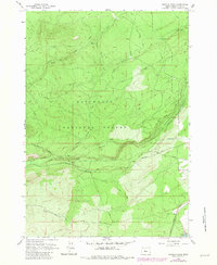
1962 Map of Shevlin Park
USGS Topo · Published 1981About this map
The waters of Tumalo Creek and its complex network of irrigation infrastructure define this section of the high desert fringe west of Bend. This survey captures a landscape dedicated to water management and timber, where the Columbia Southern Canal, Tumalo Canal, and the Tumalo Aqueduct traverse the undulating terrain of the Deschutes National Forest. The presence of several named canals and an aqueduct illustrates the engineering required to move water through this arid volcanic region during the mid-20th century.
Find a feature on this map
24 named features on this map. Tap any name to fly to it.
Don’t see what you’re looking for? This feature index may not catch every label — zoom into the map to look around manually.
Map Details
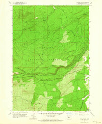
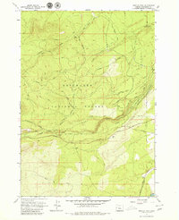
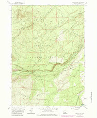
Editions of this 1962 Shevlin Park Map
4 editions found
Other maps of this area

1926 · Bend
USGS Topo · 1:125,000

1929 · Bend
USGS Topo · 1:125,000

1929 · Three Sisters
USGS Topo · 1:125,000

1930 · Maiden Peak
USGS Topo · 1:125,000

1931 · Newberry Crater
USGS Topo · 1:125,000

1932 · Three Sisters
USGS Topo · 1:125,000

1934 · Maiden Peak
USGS Topo · 1:125,000

1935 · Newberry Crater
USGS Topo · 1:125,000

1955 · Crescent
USGS Topo · 1:250,000

1955 · Bend
USGS Topo · 1:250,000