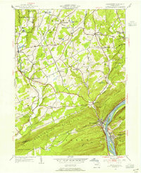
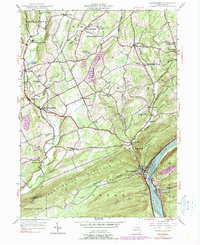
1954 Map of Shickshinny
USGS Topo · Published 1955About this map
The Susquehanna River flows through the southeastern corner of this landscape, separating Shickshinny from Mocanaqua as it cuts between Shickshinny Mountain and Penobscot Mtn. This mid-century survey reveals a rural network of small hamlets and family-named landmarks connected by winding creeks and mountain ridges. The Pennsylvania railroad line tracks the riverbank, serving as a vital corridor for the riverfront communities of Dogtown and the borough of Shickshinny.
Find a feature on this map
57 named features on this map. Tap any name to fly to it.
Don’t see what you’re looking for? This feature index may not catch every label — zoom into the map to look around manually.
Map Details
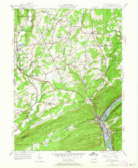
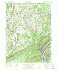
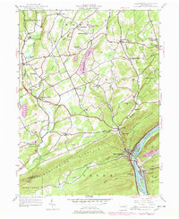
Editions of this 1954 Shickshinny Map
5 editions found
Other maps of this area

1891 · Harveys Lake
USGS Topo · 1:62,500

1893 · Harvey Lake
USGS Topo · 1:62,500

1894 · Shickshinny
USGS Topo · 1:62,500

1894 · Bloomsburg
USGS Topo · 1:62,500

1934 · Laporte
USGS Topo · 1:62,500

1946 · Sybertsville
USGS Topo · 1:31,680

1946 · Nanticoke
USGS Topo · 1:31,680

1946 · Shickshinny
USGS Topo · 1:31,680

1946 · Berwick
USGS Topo · 1:31,680

1946 · Harveys Lake
USGS Topo · 1:24,000
Featured Places
- Hunlock Township, PA
- Conyngham Township, PA
- Shickshinny, PA
- Briar Creek Township, PA
- Muhlenburg, Union Township