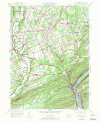
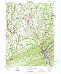
1954 Map of Shickshinny
USGS Topo · Published 1971About this map
Shickshinny serves as the primary hub where the Susquehanna River cuts through the formidable Shickshinny Mountain. The terrain is characterized by a dense network of valley settlements and upland schools, reflecting a mid-century rural landscape still deeply tied to its natural geography. Along the river, the Erie Lackawanna railroad follows the eastern bank through Mocanaqua and Dogtown, while smaller communities like Harveyville and Huntington Mills dot the western interior along Huntington Creek. The map reveals a high density of local institutions, from the McKendree Sch and Waterton Sch to the Pine Grove Cem, illustrating the distributed nature of community life in Luzerne County. Industrial activity is represented by the Sorber Pit and the infrastructure of Roons Dam, positioned within a landscape that transitions from the river's edge to the high ridges of Penobscot Mtn.
Find a feature on this map
54 named features on this map. Tap any name to fly to it.
Don’t see what you’re looking for? This feature index may not catch every label — zoom into the map to look around manually.
Map Details
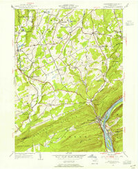
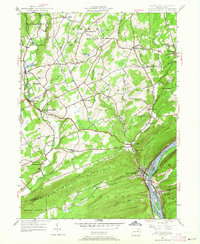
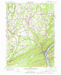
Editions of this 1954 Shickshinny Map
5 editions found
Other maps of this area

1891 · Harveys Lake
USGS Topo · 1:62,500

1893 · Harvey Lake
USGS Topo · 1:62,500

1894 · Shickshinny
USGS Topo · 1:62,500

1894 · Bloomsburg
USGS Topo · 1:62,500

1934 · Laporte
USGS Topo · 1:62,500

1946 · Sybertsville
USGS Topo · 1:31,680

1946 · Nanticoke
USGS Topo · 1:31,680

1946 · Shickshinny
USGS Topo · 1:31,680

1946 · Berwick
USGS Topo · 1:31,680

1946 · Harveys Lake
USGS Topo · 1:24,000
Featured Places
- Hunlock Township, PA
- Conyngham Township, PA
- Shickshinny, PA
- Briar Creek Township, PA
- Muhlenburg, Union Township