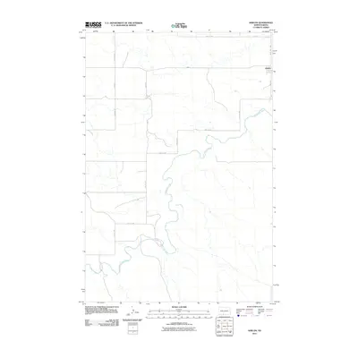
2011 Map of Shields
USGS Topo · Published 2011About this map
The Shields settlement occupies the northeastern corner of this 2011 survey, situated within a landscape defined by the winding course of the Cannonball River. The river carves a serpentine path through the terrain, cutting from the southeast toward the west and south, creating a natural boundary for the agricultural grid. This rural Grant County area is organized by a systematic network of section roads, including 41st Ave SW and 87th St SW, which facilitate movement between the sparsely distributed homesteads. The infrastructure reflects a persistent mid-century ranching and farming pattern, where the proximity to the river's valley remains a primary geographic influence. Most of the map area consists of open land dissected by coulees and the main river channel, showcasing the relationship between the prairie plateaus and the water-carved valleys of the Great Plains.
Find a feature on this map
15 named features on this map. Tap any name to fly to it.
Don’t see what you’re looking for? This feature index may not catch every label — zoom into the map to look around manually.
Map Details
Editions of this 2011 Shields Map
This is the sole edition of this map. No revisions or reprints were ever made.
Other maps of this area

1954 · Bismarck
USGS Topo · 1:250,000

1958 · Bismarck
USGS Topo · 1:250,000

1971 · Shields SW
USGS Topo · 1:24,000

1971 · Shields
USGS Topo · 1:24,000

1971 · Lookout Butte SE
USGS Topo · 1:24,000

1971 · Porcupine
USGS Topo · 1:24,000

1971 · Timmer
USGS Topo · 1:24,000

1971 · Pamplin Hills
USGS Topo · 1:24,000

1980 · Freda
USGS Topo · 1:24,000

1980 · Bell Coulee East
USGS Topo · 1:24,000