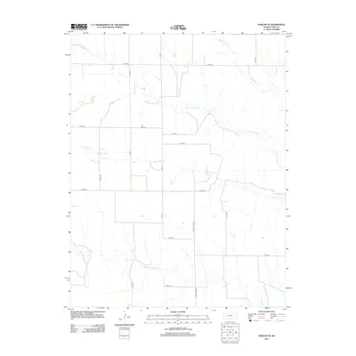
2012 Map of Shields SE
USGS Topo · Published 2012About this map
N Fork Walnut Cr and its meandering tributaries define the drainage patterns across this section of Lane County. This landscape is characterized by a strict grid of section roads and rural routes, including Co RD-240 and E Road 170, which facilitate movement between the vast agricultural plots. The hydrology is dominated by intermittent streams like Cottonwood Cr and Middle Fork Walnut Cr, reflecting the high plains environment where water management and topography are critical to the local economy. Named thoroughfares such as N Turkey Red Rd and Vista Rd provide a glimpse into the local nomenclature and road network layout in the early 21st century. The map provides a detailed view of the rural infrastructure, highlighting the sparse but organized settlement pattern of the Kansas interior.
Find a feature on this map
19 named features on this map. Tap any name to fly to it.
Don’t see what you’re looking for? This feature index may not catch every label — zoom into the map to look around manually.
Map Details
Editions of this 2012 Shields SE Map
This is the sole edition of this map. No revisions or reprints were ever made.
Other maps of this area

1955 · Scott City
USGS Topo · 1:250,000

1958 · Scott City
USGS Topo · 1:250,000

1965 · Beeler
USGS Topo · 1:24,000

1965 · Utica SW
USGS Topo · 1:24,000

1974 · Dighton
USGS Topo · 1:24,000

1974 · Alamota
USGS Topo · 1:24,000

1974 · Shields NW
USGS Topo · 1:24,000

1974 · Pendennis
USGS Topo · 1:24,000

1974 · Shields SE
USGS Topo · 1:24,000
1974 · Shields
USGS Topo · 1:24,000